Marokota geodata
Marokota (East Nusa Tenggara) is a seat of a fourth-order administrative division; located in Indonesia in Asia/Makassar (GMT+8) time zone. In our database, there are 407 cities with bigger population. Compared to other cities in Indonesia, 93% of cities are located further ↑North; 81.1% of cities are located further ←West and 84.4% of cities have lower elevation than Marokota. Note1


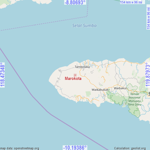
Marokota GPS coordinates[2]
9° 30' 3.96" South, 119° 10' 35.76" East
| Map corner | latitude | longitude |
|---|---|---|
| Upper-left | -8.80693°, | 118.47348° |
| Center: | -9.5011°, | 119.1766° |
| Lower-right: | -10.19386°, | 119.87973° |
| Map W x H: | 154.2×154.2 km | = 95.8×95.8mi |
| max Lat: | 5.88969° ⇑93% North |
| Marokota: | -9.5011° |
| min Lat: | ⇓7% South -10.934° |
| min Long | Marokota | max Long |
| 95.1345° | 119.1766° | 140.9419° |
| W 81.1%⇐ | ⇒18.9% E |
Elevation
Elevation of Marokota is 507 m = 1663 ft, and this is 277.3 m = 910 ft above average elevation for this country.
| Max E: |
3185 m = 10449 ft | 15.6% |
| Marokota | 507 m 1663 ft | |
| Avg. | 229.7 m = 754 ft | |
Min E: |
-1 m = -3 ft | 84.4% |
See also: Indonesia elevation on elevation.city.
Geographical zone
Marokota is located in South Torrid zone (between Equator and Tropic of Capricorn). Distance of Equator is 1056.4 km =656.4 mi to North.| Distance of | km | miles | from Marokota |
|---|---|---|---|
| Equator | 1056.4 | 656.4 | to North |
| Tropic Capricorn | 1549.5 | 962.8 | to South |
| Antarctic Circle | 6344.8 | 3942.5 | to South |
| South Pole | 8950.6 | 5561.6 | to South |


Nearby cities:
15 places around Marokota: (largest is in red/bold)
• Kalembutillu
9.9 km =6.2 mi,  131°
131°
• Manola
7.5 km =4.7 mi,  158°
158°
• Maredakamau
7.4 km =4.6 mi,  8°
8°
• Padedemanu
9.8 km =6.1 mi,  304°
304°
• Pasonobenu
5.5 km =3.4 mi,  186°
186°
• Radamata
6.3 km =3.9 mi,  212°
212°
• Redakodi
7.6 km =4.7 mi,  46°
46°
• Tambolaka
10.5 km =6.5 mi,  39°
39°
• Waiholo
10.3 km =6.4 mi,  259°
259°
• Waimangura
6.8 km =4.2 mi,  98°
98°
• Watulabara
10.4 km =6.5 mi,  107°
107°
• Weekaka
8.7 km =5.4 mi,  146°
146°
• Weekombaka
3.9 km =2.4 mi, 255°
• Weetobula
9 km =5.6 mi, 42°
• Weetombo
8.9 km =5.5 mi,  216°
216°
Sources, notices
• [Note1] Compared only with cities in Indonesia existing in our database
• [Src1] Map data: © OpenStreetMap contributors (CC-BY-SA)
• [Src2] Other city data from geonames.org with taken over terms of usage.
• [Src3] Geographical zone / Annual Mean Temperature by Robert A. Rohde @ Wikipedia
