Kawapante geodata
Kawapante (East Nusa Tenggara) is a seat of a fourth-order administrative division; located in Indonesia in Asia/Makassar (GMT+8) time zone. In our database, there are 407 cities with bigger population. Compared to other cities in Indonesia, 88% of cities are located further ↑North; 88.7% of cities are located further ←West and 86.4% of cities have higher elevation than Kawapante. Note1


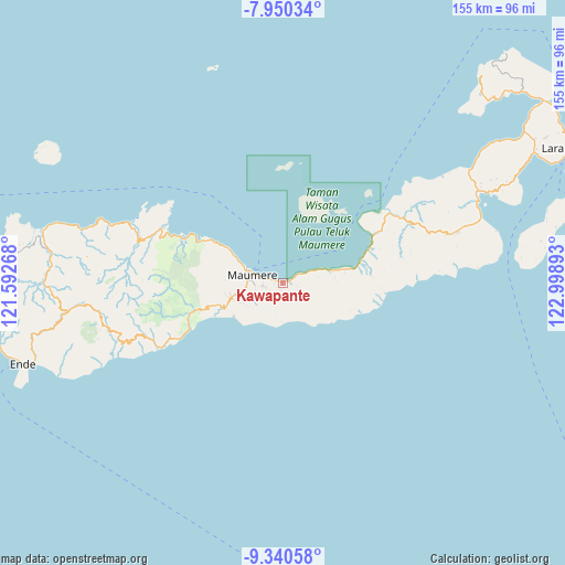
Kawapante GPS coordinates[2]
8° 38' 45.96" South, 122° 17' 44.88" East
| Map corner | latitude | longitude |
|---|---|---|
| Upper-left | -7.95034°, | 121.59268° |
| Center: | -8.6461°, | 122.2958° |
| Lower-right: | -9.34058°, | 122.99893° |
| Map W x H: | 154.6×154.6 km | = 96.1×96.1mi |
| max Lat: | 5.88969° ⇑88% North |
| Kawapante: | -8.6461° |
| min Lat: | ⇓12% South -10.934° |
| min Long | Kawapante | max Long |
| 95.1345° | 122.2958° | 140.9419° |
| W 88.7%⇐ | ⇒11.3% E |
Elevation
Elevation of Kawapante is 13 m = 43 ft, and this is 216.7 m = 711 ft below average elevation for this country.
| Max E: |
3185 m = 10449 ft | 86.4% |
| Avg. | 229.7 m = 754 ft | |
| Kawapante | 13 m = 43 ft | |
Min E: |
-1 m = -3 ft | 13.6% |
See also: Indonesia elevation on elevation.city.
Geographical zone
Kawapante is located in South Torrid zone (between Equator and Tropic of Capricorn). Distance of Equator is 961.4 km =597.4 mi to North.| Distance of | km | miles | from Kawapante |
|---|---|---|---|
| Equator | 961.4 | 597.4 | to North |
| Tropic Capricorn | 1644.6 | 1021.9 | to South |
| Antarctic Circle | 6439.8 | 4001.5 | to South |
| South Pole | 9045.7 | 5620.7 | to South |


Nearby cities:
15 places around Kawapante: (largest is in red/bold)
• Aibura
4.6 km =2.9 mi,  120°
120°
• Baobatun
4.9 km =3 mi,  199°
199°
• Bei
6.7 km =4.2 mi, 204°
• Brai
7.8 km =4.8 mi,  259°
259°
• Higetegera
2.4 km =1.5 mi,  269°
269°
• Ili
4.6 km =2.9 mi,  225°
225°
• Kloangrotat
5.7 km =3.5 mi,  130°
130°
• Nangahaledoi
3 km =1.9 mi,  59°
59°
• Nitakloang
1.9 km =1.2 mi,  194°
194°
• Ojan
7.4 km =4.6 mi,  211°
211°
• Potet
4.3 km =2.7 mi,  161°
161°
• Waioti
6.2 km =3.9 mi,  285°
285°
• Waipare
2.1 km =1.3 mi,  297°
297°
• Watublapi
6.4 km =4 mi, 162°
• Watuliwung
4.7 km =2.9 mi,  253°
253°
Sources, notices
• [Note1] Compared only with cities in Indonesia existing in our database
• [Src1] Map data: © OpenStreetMap contributors (CC-BY-SA)
• [Src2] Other city data from geonames.org with taken over terms of usage.
• [Src3] Geographical zone / Annual Mean Temperature by Robert A. Rohde @ Wikipedia
