Marapat geodata
Marapat (Banten) is a seat of a fourth-order administrative division; located in Indonesia in Asia/Jakarta (GMT+7) time zone. In our database, there are 407 cities with bigger population. Compared to other cities in Indonesia, 82.5% of cities are located further ↓South; 94% of cities are located further →East and 61.1% of cities have lower elevation than Marapat. Note1


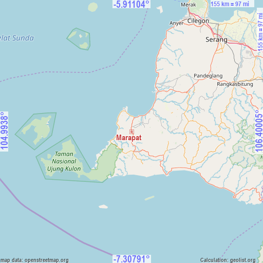
Marapat GPS coordinates[2]
6° 36' 35.892" South, 105° 41' 48.912" East
| Map corner | latitude | longitude |
|---|---|---|
| Upper-left | -5.91104°, | 104.9938° |
| Center: | -6.60997°, | 105.69692° |
| Lower-right: | -7.30791°, | 106.40005° |
| Map W x H: | 155.3×155.3 km | = 96.5×96.5mi |
| max Lat: | 5.88969° ⇑17.5% North |
| Marapat: | -6.60997° |
| min Lat: | ⇓82.5% South -10.934° |
| min Long | Marapat | max Long |
| 95.1345° | 105.69692° | 140.9419° |
| W 6%⇐ | ⇒94% E |
Elevation
Elevation of Marapat is 175 m = 574 ft, and this is 54.7 m = 179 ft below average elevation for this country.
| Max E: |
3185 m = 10449 ft | 38.9% |
| Avg. | 229.7 m = 754 ft | |
| Marapat | 175 m = 574 ft | |
Min E: |
-1 m = -3 ft | 61.1% |
See also: Indonesia elevation on elevation.city.
Geographical zone
Marapat is located in South Torrid zone (between Equator and Tropic of Capricorn). Distance of Equator is 735 km =456.7 mi to North.| Distance of | km | miles | from Marapat |
|---|---|---|---|
| Equator | 735 | 456.7 | to North |
| Tropic Capricorn | 1871 | 1162.6 | to South |
| Antarctic Circle | 6666.2 | 4142.2 | to South |
| South Pole | 9272.1 | 5761.4 | to South |


Nearby cities:
15 places around Marapat: (largest is in red/bold)
• Babakanbungur
6.3 km =3.9 mi,  3°
3°
• Babakantengah
3.6 km =2.2 mi,  178°
178°
• Cangkeuteuk
10.3 km =6.4 mi,  82°
82°
• Cigeulis
2.5 km =1.6 mi,  348°
348°
• Cijalarang
6.7 km =4.2 mi,  205°
205°
• Cikadondongdesa
5.7 km =3.5 mi, 178°
• Ciseureuheun
2.3 km =1.4 mi,  60°
60°
• Citeureup
8.6 km =5.3 mi,  9°
9°
• Gunungkendeng
7.8 km =4.8 mi,  173°
173°
• Karangbolong
5.6 km =3.5 mi,  247°
247°
• Pangkalan
8.8 km =5.5 mi,  49°
49°
• Peusar
3.5 km =2.2 mi,  137°
137°
• Salam
9.3 km =5.8 mi, 165°
• Sobang
8.5 km =5.3 mi, 51°
• Songgom
7.3 km =4.5 mi,  43°
43°
Sources, notices
• [Note1] Compared only with cities in Indonesia existing in our database
• [Src1] Map data: © OpenStreetMap contributors (CC-BY-SA)
• [Src2] Other city data from geonames.org with taken over terms of usage.
• [Src3] Geographical zone / Annual Mean Temperature by Robert A. Rohde @ Wikipedia
