Kebonjaya geodata
Kebonjaya (Banten) is a seat of a fourth-order administrative division; located in Indonesia in Asia/Jakarta (GMT+7) time zone. In our database, there are 407 cities with bigger population. Compared to other cities in Indonesia, 84.8% of cities are located further ↓South; 93.1% of cities are located further →East and 92.1% of cities have higher elevation than Kebonjaya. Note1


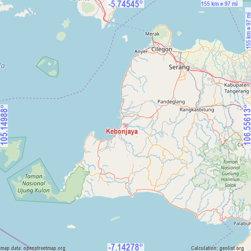
Kebonjaya GPS coordinates[2]
6° 26' 40.56" South, 105° 51' 10.8" East
| Map corner | latitude | longitude |
|---|---|---|
| Upper-left | -5.74545°, | 105.14988° |
| Center: | -6.4446°, | 105.853° |
| Lower-right: | -7.14278°, | 106.55613° |
| Map W x H: | 155.4×155.4 km | = 96.6×96.6mi |
| max Lat: | 5.88969° ⇑15.2% North |
| Kebonjaya: | -6.4446° |
| min Lat: | ⇓84.8% South -10.934° |
| min Long | Kebonjaya | max Long |
| 95.1345° | 105.853° | 140.9419° |
| W 6.9%⇐ | ⇒93.1% E |
Elevation
Elevation of Kebonjaya is 9 m = 30 ft, and this is 220.7 m = 724 ft below average elevation for this country.
| Max E: |
3185 m = 10449 ft | 92.1% |
| Avg. | 229.7 m = 754 ft | |
| Kebonjaya | 9 m = 30 ft | |
Min E: |
-1 m = -3 ft | 7.9% |
See also: Indonesia elevation on elevation.city.
Geographical zone
Kebonjaya is located in South Torrid zone (between Equator and Tropic of Capricorn). Distance of Equator is 716.6 km =445.3 mi to North.| Distance of | km | miles | from Kebonjaya |
|---|---|---|---|
| Equator | 716.6 | 445.3 | to North |
| Tropic Capricorn | 1889.3 | 1174 | to South |
| Antarctic Circle | 6684.6 | 4153.6 | to South |
| South Pole | 9290.5 | 5772.8 | to South |


Nearby cities:
15 places around Kebonjaya: (largest is in red/bold)
• Carenang Lor
2.4 km =1.5 mi,  144°
144°
• Cimoyan
4.8 km =3 mi,  127°
127°
• Kampungpinggirkali
0.9 km =0.6 mi,  304°
304°
• Kapinango
3.7 km =2.3 mi,  16°
16°
• Karangtengah
4 km =2.5 mi,  112°
112°
• Kebon
4.2 km =2.6 mi, 138°
• Kubang
4.3 km =2.7 mi,  49°
49°
• Kuluwut Tengah
4.9 km =3 mi, 45°
• Margahayu
2.4 km =1.5 mi,  32°
32°
• Pagelaran
1.4 km =0.9 mi, 19°
• Patia Kidul
4.7 km =2.9 mi,  171°
171°
• Surianeun
0.7 km =0.4 mi, 111°
• Tegalpanjang
4.5 km =2.8 mi,  324°
324°
• Tegalpapak
3.1 km =1.9 mi,  280°
280°
• Weru
2.5 km =1.6 mi,  217°
217°
Sources, notices
• [Note1] Compared only with cities in Indonesia existing in our database
• [Src1] Map data: © OpenStreetMap contributors (CC-BY-SA)
• [Src2] Other city data from geonames.org with taken over terms of usage.
• [Src3] Geographical zone / Annual Mean Temperature by Robert A. Rohde @ Wikipedia
