Jatiraya geodata
Jatiraya (Banten) is a seat of a fourth-order administrative division; located in Indonesia in Asia/Jakarta (GMT+7) time zone. In our database, there are 407 cities with bigger population. Compared to other cities in Indonesia, 76% of cities are located further ↓South; 90.8% of cities are located further →East and 92.1% of cities have higher elevation than Jatiraya. Note1


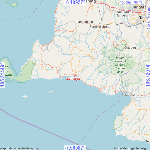
Jatiraya GPS coordinates[2]
6° 48' 29.628" South, 106° 1' 3.396" East
| Map corner | latitude | longitude |
|---|---|---|
| Upper-left | -6.10957°, | 105.31449° |
| Center: | -6.80823°, | 106.01761° |
| Lower-right: | -7.50587°, | 106.72074° |
| Map W x H: | 155.3×155.3 km | = 96.5×96.5mi |
| max Lat: | 5.88969° ⇑24% North |
| Jatiraya: | -6.80823° |
| min Lat: | ⇓76% South -10.934° |
| min Long | Jatiraya | max Long |
| 95.1345° | 106.01761° | 140.9419° |
| W 9.2%⇐ | ⇒90.8% E |
Elevation
Elevation of Jatiraya is 9 m = 30 ft, and this is 220.7 m = 724 ft below average elevation for this country.
| Max E: |
3185 m = 10449 ft | 92.1% |
| Avg. | 229.7 m = 754 ft | |
| Jatiraya | 9 m = 30 ft | |
Min E: |
-1 m = -3 ft | 7.9% |
See also: Indonesia elevation on elevation.city.
Geographical zone
Jatiraya is located in South Torrid zone (between Equator and Tropic of Capricorn). Distance of Equator is 757 km =470.4 mi to North.| Distance of | km | miles | from Jatiraya |
|---|---|---|---|
| Equator | 757 | 470.4 | to North |
| Tropic Capricorn | 1848.9 | 1148.9 | to South |
| Antarctic Circle | 6644.2 | 4128.5 | to South |
| South Pole | 9250.1 | 5747.7 | to South |


Nearby cities:
15 places around Jatiraya: (largest is in red/bold)
• Bolang
5.5 km =3.4 mi,  329°
329°
• Citaritih
4.2 km =2.6 mi,  113°
113°
• Citeureup
4.5 km =2.8 mi,  338°
338°
• Daleum
8.2 km =5.1 mi,  319°
319°
• Kadujajar
6.7 km =4.2 mi,  8°
8°
• Kandang Timur
1.4 km =0.9 mi,  289°
289°
• Kandangsapi
7.4 km =4.6 mi, 9°
• Malingping
3.3 km =2.1 mi,  0°
0°
• Pagelaran
2.6 km =1.6 mi, 108°
• Pagenggang Selatan
7.5 km =4.7 mi, 332°
• Pasirgeleng
0.8 km =0.5 mi, 320°
• Pasirhaur
3.5 km =2.2 mi,  358°
358°
• Sanghiang
5.1 km =3.2 mi, 340°
• Sukamaju
5.5 km =3.4 mi,  41°
41°
• Sukaraja
2.5 km =1.6 mi,  18°
18°
Sources, notices
• [Note1] Compared only with cities in Indonesia existing in our database
• [Src1] Map data: © OpenStreetMap contributors (CC-BY-SA)
• [Src2] Other city data from geonames.org with taken over terms of usage.
• [Src3] Geographical zone / Annual Mean Temperature by Robert A. Rohde @ Wikipedia
