Nagrog geodata
Nagrog (West Java) is a seat of a fourth-order administrative division; located in Indonesia in Asia/Jakarta (GMT+7) time zone. In our database, there are 407 cities with bigger population. Compared to other cities in Indonesia, 63.7% of cities are located further ↓South; 84.5% of cities are located further →East and 97.8% of cities have lower elevation than Nagrog. Note1


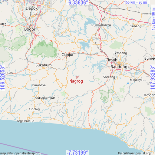
Nagrog GPS coordinates[2]
7° 2' 4.92" South, 107° 13' 46.92" East
| Map corner | latitude | longitude |
|---|---|---|
| Upper-left | -6.33636°, | 106.52658° |
| Center: | -7.0347°, | 107.2297° |
| Lower-right: | -7.73199°, | 107.93283° |
| Map W x H: | 155.2×155.2 km | = 96.4×96.4mi |
| max Lat: | 5.88969° ⇑36.3% North |
| Nagrog: | -7.0347° |
| min Lat: | ⇓63.7% South -10.934° |
| min Long | Nagrog | max Long |
| 95.1345° | 107.2297° | 140.9419° |
| W 15.5%⇐ | ⇒84.5% E |
Elevation
Elevation of Nagrog is 1023 m = 3356 ft, and this is 793.3 m = 2603 ft above average elevation for this country.
| Max E: |
3185 m = 10449 ft | 2.2% |
| Nagrog | 1023 m 3356 ft | |
| Avg. | 229.7 m = 754 ft | |
Min E: |
-1 m = -3 ft | 97.8% |
See also: Indonesia elevation on elevation.city.
Geographical zone
Nagrog is located in South Torrid zone (between Equator and Tropic of Capricorn). Distance of Equator is 782.2 km =486 mi to North.| Distance of | km | miles | from Nagrog |
|---|---|---|---|
| Equator | 782.2 | 486 | to North |
| Tropic Capricorn | 1823.7 | 1133.2 | to South |
| Antarctic Circle | 6619 | 4112.9 | to South |
| South Pole | 9224.9 | 5732.1 | to South |


Nearby cities:
15 places around Nagrog: (largest is in red/bold)
• Campaka
10.7 km =6.6 mi,  270°
270°
• Caringin
11.7 km =7.3 mi,  239°
239°
• Cibitung
14.4 km =8.9 mi,  229°
229°
• Ciherang
3.3 km =2.1 mi,  212°
212°
• Ciodeng
17.1 km =10.6 mi, 239°
• Citamiang
5 km =3.1 mi,  215°
215°
• Kebonkaret
8.1 km =5 mi,  253°
253°
• Kupel
7.7 km =4.8 mi, 233°
• Parabon
17.1 km =10.6 mi, 227°
• Sukaasih
12.9 km =8 mi,  281°
281°
• Sukanagara
13 km =8.1 mi, 237°
• Tegallega
1.5 km =0.9 mi, 211°
• Walagar
5.7 km =3.5 mi, 219°
• Wangun
15.1 km =9.4 mi, 271°
• Warungsimpang
10.1 km =6.3 mi, 283°
Sources, notices
• [Note1] Compared only with cities in Indonesia existing in our database
• [Src1] Map data: © OpenStreetMap contributors (CC-BY-SA)
• [Src2] Other city data from geonames.org with taken over terms of usage.
• [Src3] Geographical zone / Annual Mean Temperature by Robert A. Rohde @ Wikipedia
