Gunajaya geodata
Gunajaya (West Java) is a seat of a fourth-order administrative division; located in Indonesia in Asia/Jakarta (GMT+7) time zone. In our database, there are 407 cities with bigger population. Compared to other cities in Indonesia, 52.3% of cities are located further ↑North; 75% of cities are located further →East and 74.4% of cities have lower elevation than Gunajaya. Note1


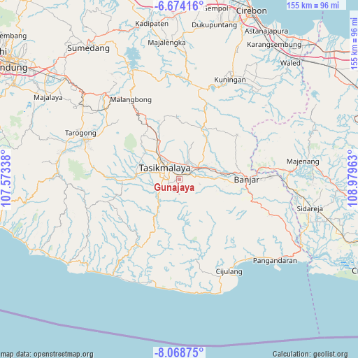
Gunajaya GPS coordinates[2]
7° 22' 19.2" South, 108° 16' 35.4" East
| Map corner | latitude | longitude |
|---|---|---|
| Upper-left | -6.67416°, | 107.57338° |
| Center: | -7.372°, | 108.2765° |
| Lower-right: | -8.06875°, | 108.97963° |
| Map W x H: | 155.1×155.1 km | = 96.4×96.4mi |
| max Lat: | 5.88969° ⇑52.3% North |
| Gunajaya: | -7.372° |
| min Lat: | ⇓47.7% South -10.934° |
| min Long | Gunajaya | max Long |
| 95.1345° | 108.2765° | 140.9419° |
| W 25%⇐ | ⇒75% E |
Elevation
Elevation of Gunajaya is 350 m = 1148 ft, and this is 120.3 m = 395 ft above average elevation for this country.
| Max E: |
3185 m = 10449 ft | 25.6% |
| Gunajaya | 350 m 1148 ft | |
| Avg. | 229.7 m = 754 ft | |
Min E: |
-1 m = -3 ft | 74.4% |
See also: Indonesia elevation on elevation.city.
Geographical zone
Gunajaya is located in South Torrid zone (between Equator and Tropic of Capricorn). Distance of Equator is 819.7 km =509.3 mi to North.| Distance of | km | miles | from Gunajaya |
|---|---|---|---|
| Equator | 819.7 | 509.3 | to North |
| Tropic Capricorn | 1786.2 | 1109.9 | to South |
| Antarctic Circle | 6581.5 | 4089.6 | to South |
| South Pole | 9187.4 | 5708.8 | to South |


Nearby cities:
15 places around Gunajaya: (largest is in red/bold)
• Awipari Tengah
2.4 km =1.5 mi,  347°
347°
• Bandung
3.5 km =2.2 mi,  209°
209°
• Bantargedang
3.3 km =2.1 mi,  296°
296°
• Cibangun Tengah
1.8 km =1.1 mi,  319°
319°
• Cibeureum
2 km =1.2 mi,  336°
336°
• Cimuncang
2.6 km =1.6 mi,  59°
59°
• Cisitu Kaler
3.5 km =2.2 mi,  71°
71°
• Jatiwangi
2.2 km =1.4 mi,  250°
250°
• Kadupandak
2.6 km =1.6 mi,  270°
270°
• Kertasari
2.9 km =1.8 mi,  10°
10°
• Kotabaru
2.6 km =1.6 mi, 317°
• Lengkong
2.9 km =1.8 mi,  153°
153°
• Sukamulya
1.4 km =0.9 mi,  117°
117°
• Sukasirna
0.7 km =0.4 mi, 11°
• Walagar
2.5 km =1.6 mi,  32°
32°
Sources, notices
• [Note1] Compared only with cities in Indonesia existing in our database
• [Src1] Map data: © OpenStreetMap contributors (CC-BY-SA)
• [Src2] Other city data from geonames.org with taken over terms of usage.
• [Src3] Geographical zone / Annual Mean Temperature by Robert A. Rohde @ Wikipedia
