Sumber geodata
Sumber (Central Java) is a seat of a fourth-order administrative division; located in Indonesia in Asia/Jakarta (GMT+7) time zone. In our database, there are 407 cities with bigger population. Compared to other cities in Indonesia, 82.4% of cities are located further ↓South; 64.6% of cities are located further →East and 58.6% of cities have higher elevation than Sumber. Note1


Sumber GPS coordinates[2]
6° 36' 47.16" South, 111° 1' 57" East
| Map corner | latitude | longitude |
|---|---|---|
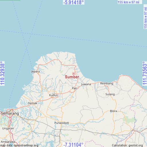
| Upper-left | -5.91418°, | 110.32938° |
| Center: | -6.6131°, | 111.0325° |
| Lower-right: | -7.31104°, | 111.73563° |
| Map W x H: | 155.3×155.3 km | = 96.5×96.5mi |
| max Lat: | 5.88969° ⇑17.6% North |
| Sumber: | -6.6131° |
| min Lat: | ⇓82.4% South -10.934° |
| min Long | Sumber | max Long |
| 95.1345° | 111.0325° | 140.9419° |
| W 35.4%⇐ | ⇒64.6% E |
Elevation
Elevation of Sumber is 65 m = 213 ft, and this is 164.7 m = 540 ft below average elevation for this country.
| Max E: |
3185 m = 10449 ft | 58.6% |
| Avg. | 229.7 m = 754 ft | |
| Sumber | 65 m = 213 ft | |
Min E: |
-1 m = -3 ft | 41.4% |
See also: Indonesia elevation on elevation.city.
Geographical zone
Sumber is located in South Torrid zone (between Equator and Tropic of Capricorn). Distance of Equator is 735.3 km =456.9 mi to North.| Distance of | km | miles | from Sumber |
|---|---|---|---|
| Equator | 735.3 | 456.9 | to North |
| Tropic Capricorn | 1870.6 | 1162.3 | to South |
| Antarctic Circle | 6665.9 | 4142 | to South |
| South Pole | 9271.8 | 5761.2 | to South |


Nearby cities:
15 places around Sumber: (largest is in red/bold)
• Babatan
2.4 km =1.5 mi,  84°
84°
• Bancaran
3.9 km =2.4 mi,  17°
17°
• Banteng
2.6 km =1.6 mi,  314°
314°
• Bulumanis Lor
3.8 km =2.4 mi, 81°
• Kajen
3.1 km =1.9 mi, 76°
• Kedung
2 km =1.2 mi,  38°
38°
• Krajan Tanjungrejo
2.6 km =1.6 mi,  150°
150°
• Krajan Waturoyo
3.3 km =2.1 mi,  53°
53°
• Mrican
2.4 km =1.5 mi, 24°
• Pesagen
2.4 km =1.5 mi,  298°
298°
• Sekarjalak
3.6 km =2.2 mi,  90°
90°
• Sidomukti
2.6 km =1.6 mi,  120°
120°
• Suwatu
3.4 km =2.1 mi,  233°
233°
• Tegalarum
2.4 km =1.5 mi,  277°
277°
• Tegalharjo
3.2 km =2 mi,  192°
192°
Sources, notices
• [Note1] Compared only with cities in Indonesia existing in our database
• [Src1] Map data: © OpenStreetMap contributors (CC-BY-SA)
• [Src2] Other city data from geonames.org with taken over terms of usage.
• [Src3] Geographical zone / Annual Mean Temperature by Robert A. Rohde @ Wikipedia
