Plosorejo geodata
Plosorejo (Central Java) is a seat of a fourth-order administrative division; located in Indonesia in Asia/Jakarta (GMT+7) time zone. In our database, there are 407 cities with bigger population. Compared to other cities in Indonesia, 66.8% of cities are located further ↓South; 62.1% of cities are located further →East and 54.3% of cities have higher elevation than Plosorejo. Note1


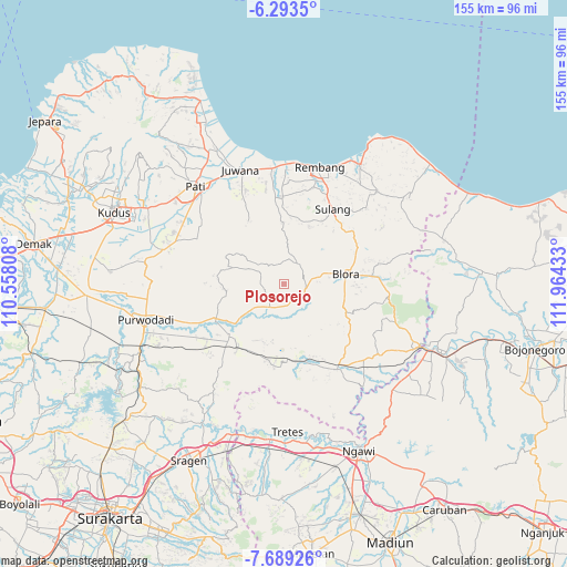
Plosorejo GPS coordinates[2]
6° 59' 30.84" South, 111° 15' 40.32" East
| Map corner | latitude | longitude |
|---|---|---|
| Upper-left | -6.2935°, | 110.55808° |
| Center: | -6.9919°, | 111.2612° |
| Lower-right: | -7.68926°, | 111.96433° |
| Map W x H: | 155.2×155.2 km | = 96.4×96.4mi |
| max Lat: | 5.88969° ⇑33.2% North |
| Plosorejo: | -6.9919° |
| min Lat: | ⇓66.8% South -10.934° |
| min Long | Plosorejo | max Long |
| 95.1345° | 111.2612° | 140.9419° |
| W 37.9%⇐ | ⇒62.1% E |
Elevation
Elevation of Plosorejo is 88 m = 289 ft, and this is 141.7 m = 465 ft below average elevation for this country.
| Max E: |
3185 m = 10449 ft | 54.3% |
| Avg. | 229.7 m = 754 ft | |
| Plosorejo | 88 m = 289 ft | |
Min E: |
-1 m = -3 ft | 45.7% |
See also: Indonesia elevation on elevation.city.
Geographical zone
Plosorejo is located in South Torrid zone (between Equator and Tropic of Capricorn). Distance of Equator is 777.4 km =483.1 mi to North.| Distance of | km | miles | from Plosorejo |
|---|---|---|---|
| Equator | 777.4 | 483.1 | to North |
| Tropic Capricorn | 1828.5 | 1136.2 | to South |
| Antarctic Circle | 6623.7 | 4115.8 | to South |
| South Pole | 9229.6 | 5735 | to South |


Nearby cities:
15 places around Plosorejo: (largest is in red/bold)
• Balong Wetan
1 km =0.6 mi,  181°
181°
• Beganjing
5.6 km =3.5 mi,  45°
45°
• Berbak
5.8 km =3.6 mi,  96°
96°
• Bradag
3.8 km =2.4 mi,  92°
92°
• Gotputuk
4.9 km =3 mi, 86°
• Jepang
3.6 km =2.2 mi,  187°
187°
• Jetak
4.5 km =2.8 mi, 176°
• Krocok
2.6 km =1.6 mi,  37°
37°
• Ngapus
5.8 km =3.6 mi,  341°
341°
• Ngawen
5.8 km =3.6 mi, 102°
• Pecaren
4.6 km =2.9 mi,  111°
111°
• Pelem
1.2 km =0.7 mi, 343°
• Suren
5.1 km =3.2 mi,  65°
65°
• Tengger
4.1 km =2.5 mi,  80°
80°
• Trembulrejo
5.9 km =3.7 mi,  121°
121°
Sources, notices
• [Note1] Compared only with cities in Indonesia existing in our database
• [Src1] Map data: © OpenStreetMap contributors (CC-BY-SA)
• [Src2] Other city data from geonames.org with taken over terms of usage.
• [Src3] Geographical zone / Annual Mean Temperature by Robert A. Rohde @ Wikipedia
