Jatirejo geodata
Jatirejo (Central Java) is a seat of a fourth-order administrative division; located in Indonesia in Asia/Jakarta (GMT+7) time zone. In our database, there are 407 cities with bigger population. Compared to other cities in Indonesia, 71.2% of cities are located further ↓South; 58.5% of cities are located further →East and 53.7% of cities have lower elevation than Jatirejo. Note1


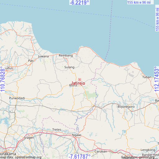
Jatirejo GPS coordinates[2]
6° 55' 13.44" South, 111° 28' 17.04" East
| Map corner | latitude | longitude |
|---|---|---|
| Upper-left | -6.2219°, | 110.76828° |
| Center: | -6.9204°, | 111.4714° |
| Lower-right: | -7.61787°, | 112.17453° |
| Map W x H: | 155.2×155.2 km | = 96.4×96.4mi |
| max Lat: | 5.88969° ⇑28.8% North |
| Jatirejo: | -6.9204° |
| min Lat: | ⇓71.2% South -10.934° |
| min Long | Jatirejo | max Long |
| 95.1345° | 111.4714° | 140.9419° |
| W 41.5%⇐ | ⇒58.5% E |
Elevation
Elevation of Jatirejo is 118 m = 387 ft, and this is 111.7 m = 366 ft below average elevation for this country.
| Max E: |
3185 m = 10449 ft | 46.3% |
| Avg. | 229.7 m = 754 ft | |
| Jatirejo | 118 m = 387 ft | |
Min E: |
-1 m = -3 ft | 53.7% |
See also: Indonesia elevation on elevation.city.
Geographical zone
Jatirejo is located in South Torrid zone (between Equator and Tropic of Capricorn). Distance of Equator is 769.5 km =478.1 mi to North.| Distance of | km | miles | from Jatirejo |
|---|---|---|---|
| Equator | 769.5 | 478.1 | to North |
| Tropic Capricorn | 1836.4 | 1141.1 | to South |
| Antarctic Circle | 6631.7 | 4120.7 | to South |
| South Pole | 9237.6 | 5740 | to South |


Nearby cities:
15 places around Jatirejo: (largest is in red/bold)
• Bacem
0.8 km =0.5 mi,  195°
195°
• Gendangdowo
3.5 km =2.2 mi,  208°
208°
• Gombang
2.8 km =1.7 mi,  144°
144°
• Jurangjero
3.7 km =2.3 mi,  59°
59°
• Karang
3.4 km =2.1 mi,  125°
125°
• Karanganyar
2.1 km =1.3 mi,  115°
115°
• Karangasem
2.9 km =1.8 mi,  36°
36°
• Karanggeneng
2.4 km =1.5 mi,  258°
258°
• Kawengan
2 km =1.2 mi,  176°
176°
• Kemiren
2.4 km =1.5 mi,  352°
352°
• Medang
3.6 km =2.2 mi,  282°
282°
• Ngadipurwo
2.8 km =1.7 mi, 284°
• Puledagel
2.1 km =1.3 mi,  220°
220°
• Sarirejo
1.7 km =1.1 mi, 142°
• Tempuran
1.5 km =0.9 mi,  310°
310°
Sources, notices
• [Note1] Compared only with cities in Indonesia existing in our database
• [Src1] Map data: © OpenStreetMap contributors (CC-BY-SA)
• [Src2] Other city data from geonames.org with taken over terms of usage.
• [Src3] Geographical zone / Annual Mean Temperature by Robert A. Rohde @ Wikipedia
