Kedungwungu geodata
Kedungwungu (East Java) is a seat of a fourth-order administrative division; located in Indonesia in Asia/Jakarta (GMT+7) time zone. In our database, there are 407 cities with bigger population. Compared to other cities in Indonesia, 69.8% of cities are located further ↑North; 52.3% of cities are located further ←West and 61.6% of cities have lower elevation than Kedungwungu. Note1


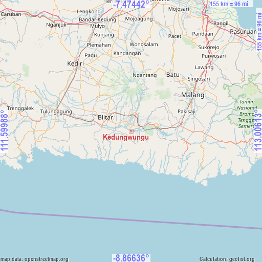
Kedungwungu GPS coordinates[2]
8° 10' 15.6" South, 112° 18' 10.8" East
| Map corner | latitude | longitude |
|---|---|---|
| Upper-left | -7.47442°, | 111.59988° |
| Center: | -8.171°, | 112.303° |
| Lower-right: | -8.86636°, | 113.00613° |
| Map W x H: | 154.8×154.8 km | = 96.2×96.2mi |
| max Lat: | 5.88969° ⇑69.8% North |
| Kedungwungu: | -8.171° |
| min Lat: | ⇓30.2% South -10.934° |
| min Long | Kedungwungu | max Long |
| 95.1345° | 112.303° | 140.9419° |
| W 52.3%⇐ | ⇒47.7% E |
Elevation
Elevation of Kedungwungu is 181 m = 594 ft, and this is 48.7 m = 160 ft below average elevation for this country.
| Max E: |
3185 m = 10449 ft | 38.4% |
| Avg. | 229.7 m = 754 ft | |
| Kedungwungu | 181 m = 594 ft | |
Min E: |
-1 m = -3 ft | 61.6% |
See also: Indonesia elevation on elevation.city.
Geographical zone
Kedungwungu is located in South Torrid zone (between Equator and Tropic of Capricorn). Distance of Equator is 908.5 km =564.5 mi to North.| Distance of | km | miles | from Kedungwungu |
|---|---|---|---|
| Equator | 908.5 | 564.5 | to North |
| Tropic Capricorn | 1697.4 | 1054.7 | to South |
| Antarctic Circle | 6492.6 | 4034.3 | to South |
| South Pole | 9098.5 | 5653.5 | to South |


Nearby cities:
15 places around Kedungwungu: (largest is in red/bold)
• Duren
6 km =3.7 mi,  338°
338°
• Jabung
5.9 km =3.7 mi,  313°
313°
• Jambewangi
4.5 km =2.8 mi,  4°
4°
• Kaulon
2.7 km =1.7 mi,  295°
295°
• Mandesan
2.8 km =1.7 mi, 338°
• Mronjo
5.3 km =3.3 mi,  333°
333°
• Ngembul
3.2 km =2 mi,  95°
95°
• Panggungasri
4.4 km =2.7 mi,  189°
189°
• Rampalombo
5.2 km =3.2 mi,  233°
233°
• Rejoso
4.6 km =2.9 mi,  128°
128°
• Salamrejo
6.2 km =3.9 mi,  167°
167°
• Sambigede
5.8 km =3.6 mi, 130°
• Selopuro
3 km =1.9 mi,  11°
11°
• Siraman
4.8 km =3 mi,  49°
49°
• Umbuldamar
5.9 km =3.7 mi, 99°
Sources, notices
• [Note1] Compared only with cities in Indonesia existing in our database
• [Src1] Map data: © OpenStreetMap contributors (CC-BY-SA)
• [Src2] Other city data from geonames.org with taken over terms of usage.
• [Src3] Geographical zone / Annual Mean Temperature by Robert A. Rohde @ Wikipedia
