Dorbuk Utara geodata
Dorbuk Utara (East Java) is a seat of a fourth-order administrative division; located in Indonesia in Asia/Jakarta (GMT+7) time zone. In our database, there are 407 cities with bigger population. Compared to other cities in Indonesia, 55.4% of cities are located further ↓South; 62.2% of cities are located further ←West and 90.6% of cities have higher elevation than Dorbuk Utara. Note1


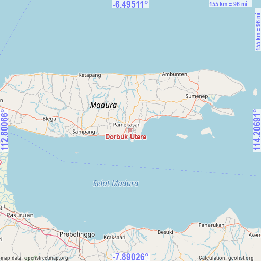
Dorbuk Utara GPS coordinates[2]
7° 11' 35.592" South, 113° 30' 13.608" East
| Map corner | latitude | longitude |
|---|---|---|
| Upper-left | -6.49511°, | 112.80066° |
| Center: | -7.19322°, | 113.50378° |
| Lower-right: | -7.89026°, | 114.20691° |
| Map W x H: | 155.1×155.1 km | = 96.4×96.4mi |
| max Lat: | 5.88969° ⇑44.6% North |
| Dorbuk Utara: | -7.19322° |
| min Lat: | ⇓55.4% South -10.934° |
| min Long | Dorbuk Utara | max Long |
| 95.1345° | 113.50378° | 140.9419° |
| W 62.2%⇐ | ⇒37.8% E |
Elevation
Elevation of Dorbuk Utara is 10 m = 33 ft, and this is 219.7 m = 721 ft below average elevation for this country.
| Max E: |
3185 m = 10449 ft | 90.6% |
| Avg. | 229.7 m = 754 ft | |
| Dorbuk Utara | 10 m = 33 ft | |
Min E: |
-1 m = -3 ft | 9.4% |
See also: Indonesia elevation on elevation.city.
Geographical zone
Dorbuk Utara is located in South Torrid zone (between Equator and Tropic of Capricorn). Distance of Equator is 799.8 km =497 mi to North.| Distance of | km | miles | from Dorbuk Utara |
|---|---|---|---|
| Equator | 799.8 | 497 | to North |
| Tropic Capricorn | 1806.1 | 1122.3 | to South |
| Antarctic Circle | 6601.4 | 4101.9 | to South |
| South Pole | 9207.3 | 5721.1 | to South |


Nearby cities:
15 places around Dorbuk Utara: (largest is in red/bold)
• Biris Daja
4.7 km =2.9 mi,  21°
21°
• Bong
3.7 km =2.3 mi,  186°
186°
• Bulung
3.9 km =2.4 mi,  10°
10°
• Bunder
2.9 km =1.8 mi,  75°
75°
• Jambul
4.1 km =2.5 mi,  133°
133°
• Karangdalam
1.1 km =0.7 mi,  62°
62°
• Kebon
0.9 km =0.6 mi,  351°
351°
• Lobuk
4.1 km =2.5 mi, 23°
• Mor Laok
3.7 km =2.3 mi,  160°
160°
• Morsoksok
1.8 km =1.1 mi,  201°
201°
• Mungging
3.3 km =2.1 mi,  111°
111°
• Murtajih
3 km =1.9 mi, 11°
• Pademawu
2.5 km =1.6 mi,  72°
72°
• Utara
1 km =0.6 mi,  231°
231°
• Utara
2.8 km =1.7 mi, 348°
Sources, notices
• [Note1] Compared only with cities in Indonesia existing in our database
• [Src1] Map data: © OpenStreetMap contributors (CC-BY-SA)
• [Src2] Other city data from geonames.org with taken over terms of usage.
• [Src3] Geographical zone / Annual Mean Temperature by Robert A. Rohde @ Wikipedia
