Bong geodata
Bong (East Java) is a seat of a fourth-order administrative division; located in Indonesia in Asia/Jakarta (GMT+7) time zone. In our database, there are 407 cities with bigger population. Compared to other cities in Indonesia, 53.9% of cities are located further ↓South; 62.2% of cities are located further ←West and 92.1% of cities have higher elevation than Bong. Note1


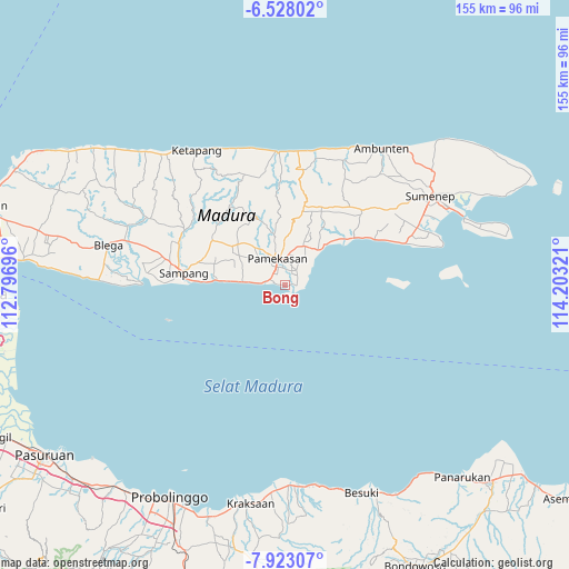
Bong GPS coordinates[2]
7° 13' 33.888" South, 113° 30' 0.288" East
| Map corner | latitude | longitude |
|---|---|---|
| Upper-left | -6.52802°, | 112.79696° |
| Center: | -7.22608°, | 113.50008° |
| Lower-right: | -7.92307°, | 114.20321° |
| Map W x H: | 155.1×155.1 km | = 96.4×96.4mi |
| max Lat: | 5.88969° ⇑46.1% North |
| Bong: | -7.22608° |
| min Lat: | ⇓53.9% South -10.934° |
| min Long | Bong | max Long |
| 95.1345° | 113.50008° | 140.9419° |
| W 62.2%⇐ | ⇒37.8% E |
Elevation
Elevation of Bong is 9 m = 30 ft, and this is 220.7 m = 724 ft below average elevation for this country.
| Max E: |
3185 m = 10449 ft | 92.1% |
| Avg. | 229.7 m = 754 ft | |
| Bong | 9 m = 30 ft | |
Min E: |
-1 m = -3 ft | 7.9% |
See also: Indonesia elevation on elevation.city.
Geographical zone
Bong is located in South Torrid zone (between Equator and Tropic of Capricorn). Distance of Equator is 803.5 km =499.3 mi to North.| Distance of | km | miles | from Bong |
|---|---|---|---|
| Equator | 803.5 | 499.3 | to North |
| Tropic Capricorn | 1802.5 | 1120 | to South |
| Antarctic Circle | 6597.7 | 4099.6 | to South |
| South Pole | 9203.6 | 5718.9 | to South |


Nearby cities:
15 places around Bong: (largest is in red/bold)
• Bangkal
3.3 km =2.1 mi,  91°
91°
• Bulung
7.6 km =4.7 mi,  8°
8°
• Bunder
5.5 km =3.4 mi,  36°
36°
• Dorbuk Utara
3.7 km =2.3 mi, 6°
• Jambul
3.5 km =2.2 mi,  76°
76°
• Karangdalam
4.4 km =2.7 mi,  18°
18°
• Kebon
4.6 km =2.9 mi,  3°
3°
• Lobuk
7.7 km =4.8 mi, 15°
• Mor Laok
1.7 km =1.1 mi, 83°
• Morsoksok
2 km =1.2 mi,  353°
353°
• Mungging
4.3 km =2.7 mi,  55°
55°
• Murtajih
6.7 km =4.2 mi, 8°
• Pademawu
5.3 km =3.3 mi,  32°
32°
• Utara
3.1 km =1.9 mi, 352°
• Utara
6.4 km =4 mi,  358°
358°
Sources, notices
• [Note1] Compared only with cities in Indonesia existing in our database
• [Src1] Map data: © OpenStreetMap contributors (CC-BY-SA)
• [Src2] Other city data from geonames.org with taken over terms of usage.
• [Src3] Geographical zone / Annual Mean Temperature by Robert A. Rohde @ Wikipedia
