Kolla geodata
Kolla (East Nusa Tenggara) is a seat of a fourth-order administrative division; located in Indonesia in Asia/Makassar (GMT+8) time zone. In our database, there are 407 cities with bigger population. Compared to other cities in Indonesia, 99.4% of cities are located further ↑North; 91% of cities are located further ←West and 87.7% of cities have higher elevation than Kolla. Note1


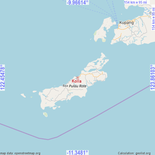
Kolla GPS coordinates[2]
10° 39' 28.44" South, 123° 9' 28.44" East
| Map corner | latitude | longitude |
|---|---|---|
| Upper-left | -9.96614°, | 122.45478° |
| Center: | -10.6579°, | 123.1579° |
| Lower-right: | -11.3481°, | 123.86103° |
| Map W x H: | 153.7×153.7 km | = 95.5×95.5mi |
| max Lat: | 5.88969° ⇑99.4% North |
| Kolla: | -10.6579° |
| min Lat: | ⇓0.6% South -10.934° |
| min Long | Kolla | max Long |
| 95.1345° | 123.1579° | 140.9419° |
| W 91%⇐ | ⇒9% E |
Elevation
Elevation of Kolla is 12 m = 39 ft, and this is 217.7 m = 714 ft below average elevation for this country.
| Max E: |
3185 m = 10449 ft | 87.7% |
| Avg. | 229.7 m = 754 ft | |
| Kolla | 12 m = 39 ft | |
Min E: |
-1 m = -3 ft | 12.3% |
See also: Indonesia elevation on elevation.city.
Geographical zone
Kolla is located in South Torrid zone (between Equator and Tropic of Capricorn). Distance of Equator is 1185 km =736.3 mi to North.| Distance of | km | miles | from Kolla |
|---|---|---|---|
| Equator | 1185 | 736.3 | to North |
| Tropic Capricorn | 1420.9 | 882.9 | to South |
| Antarctic Circle | 6216.1 | 3862.5 | to South |
| South Pole | 8822 | 5481.7 | to South |


Nearby cities:
15 places around Kolla: (largest is in red/bold)
• Batulilok Satu
12.6 km =7.8 mi,  133°
133°
• Bengubelan
13.4 km =8.3 mi,  138°
138°
• Biuk
8.5 km =5.3 mi,  44°
44°
• Daeosin Satu
5.6 km =3.5 mi,  48°
48°
• Feapopi
5.5 km =3.4 mi,  246°
246°
• Kakaek
13.7 km =8.5 mi, 127°
• Karafao
13.9 km =8.6 mi, 52°
• Momanalu
1.9 km =1.2 mi, 252°
• Nggenamadale
12.3 km =7.6 mi,  159°
159°
• Nitanggoeng
6.1 km =3.8 mi,  173°
173°
• Oelunggu Satu
12.8 km =8 mi,  231°
231°
• Olafulihaa
8.9 km =5.5 mi,  70°
70°
• Potikosin
9.9 km =6.2 mi,  221°
221°
• Puamata
8.6 km =5.3 mi,  198°
198°
• Sua
12.3 km =7.6 mi, 70°
Sources, notices
• [Note1] Compared only with cities in Indonesia existing in our database
• [Src1] Map data: © OpenStreetMap contributors (CC-BY-SA)
• [Src2] Other city data from geonames.org with taken over terms of usage.
• [Src3] Geographical zone / Annual Mean Temperature by Robert A. Rohde @ Wikipedia
