Pregi geodata
Pregi (East Java) is a seat of a fourth-order administrative division; located in Indonesia in Asia/Jakarta (GMT+7) time zone. In our database, there are 407 cities with bigger population. Compared to other cities in Indonesia, 67.6% of cities are located further ↓South; 62.8% of cities are located further ←West and 59.1% of cities have lower elevation than Pregi. Note1


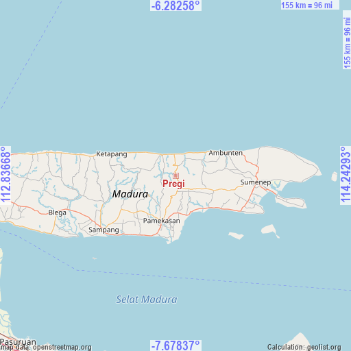
Pregi GPS coordinates[2]
6° 58' 51.6" South, 113° 32' 23.28" East
| Map corner | latitude | longitude |
|---|---|---|
| Upper-left | -6.28258°, | 112.83668° |
| Center: | -6.981°, | 113.5398° |
| Lower-right: | -7.67837°, | 114.24293° |
| Map W x H: | 155.2×155.2 km | = 96.4×96.4mi |
| max Lat: | 5.88969° ⇑32.4% North |
| Pregi: | -6.981° |
| min Lat: | ⇓67.6% South -10.934° |
| min Long | Pregi | max Long |
| 95.1345° | 113.5398° | 140.9419° |
| W 62.8%⇐ | ⇒37.2% E |
Elevation
Elevation of Pregi is 155 m = 509 ft, and this is 74.7 m = 245 ft below average elevation for this country.
| Max E: |
3185 m = 10449 ft | 40.9% |
| Avg. | 229.7 m = 754 ft | |
| Pregi | 155 m = 509 ft | |
Min E: |
-1 m = -3 ft | 59.1% |
See also: Indonesia elevation on elevation.city.
Geographical zone
Pregi is located in South Torrid zone (between Equator and Tropic of Capricorn). Distance of Equator is 776.2 km =482.3 mi to North.| Distance of | km | miles | from Pregi |
|---|---|---|---|
| Equator | 776.2 | 482.3 | to North |
| Tropic Capricorn | 1829.7 | 1136.9 | to South |
| Antarctic Circle | 6625 | 4116.6 | to South |
| South Pole | 9230.8 | 5735.8 | to South |


Nearby cities:
15 places around Pregi: (largest is in red/bold)
• Bandungan Timur
6 km =3.7 mi,  289°
289°
• Danpateh
5.8 km =3.6 mi,  356°
356°
• Gunung
6 km =3.7 mi,  128°
128°
• Gunungtengah
2.2 km =1.4 mi,  37°
37°
• Laokgunung
5.9 km =3.7 mi,  52°
52°
• Nomih
6 km =3.7 mi,  268°
268°
• Pakong
5.7 km =3.5 mi,  169°
169°
• Paolasen
2.2 km =1.4 mi,  201°
201°
• Rapas
5.8 km =3.6 mi,  328°
328°
• Telangi Satu
4.1 km =2.5 mi,  10°
10°
• Tengah
5.7 km =3.5 mi, 13°
• Tenggina
3.4 km =2.1 mi, 125°
• Trebungonjur
4.2 km =2.6 mi,  222°
222°
• Wakduwa’ Barat
4.8 km =3 mi,  343°
343°
• Waru
4.5 km =2.8 mi, 14°
Sources, notices
• [Note1] Compared only with cities in Indonesia existing in our database
• [Src1] Map data: © OpenStreetMap contributors (CC-BY-SA)
• [Src2] Other city data from geonames.org with taken over terms of usage.
• [Src3] Geographical zone / Annual Mean Temperature by Robert A. Rohde @ Wikipedia
