Oeoh geodata
Oeoh (East Nusa Tenggara) is a seat of a fourth-order administrative division; located in Indonesia in Asia/Makassar (GMT+8) time zone. In our database, there are 407 cities with bigger population. Compared to other cities in Indonesia, 95.1% of cities are located further ↑North; 96.4% of cities are located further ←West and 78.4% of cities have lower elevation than Oeoh. Note1


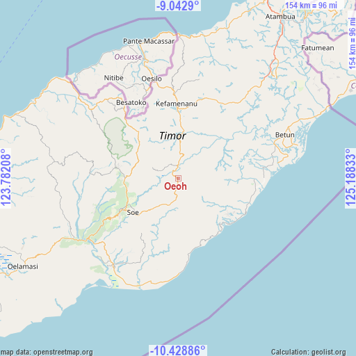
Oeoh GPS coordinates[2]
9° 44' 11.76" South, 124° 29' 6.72" East
| Map corner | latitude | longitude |
|---|---|---|
| Upper-left | -9.0429°, | 123.78208° |
| Center: | -9.7366°, | 124.4852° |
| Lower-right: | -10.42886°, | 125.18833° |
| Map W x H: | 154.1×154.1 km | = 95.8×95.8mi |
| max Lat: | 5.88969° ⇑95.1% North |
| Oeoh: | -9.7366° |
| min Lat: | ⇓4.9% South -10.934° |
| min Long | Oeoh | max Long |
| 95.1345° | 124.4852° | 140.9419° |
| W 96.4%⇐ | ⇒3.6% E |
Elevation
Elevation of Oeoh is 403 m = 1322 ft, and this is 173.3 m = 569 ft above average elevation for this country.
| Max E: |
3185 m = 10449 ft | 21.6% |
| Oeoh | 403 m 1322 ft | |
| Avg. | 229.7 m = 754 ft | |
Min E: |
-1 m = -3 ft | 78.4% |
See also: Indonesia elevation on elevation.city.
Geographical zone
Oeoh is located in South Torrid zone (between Equator and Tropic of Capricorn). Distance of Equator is 1082.6 km =672.7 mi to North.| Distance of | km | miles | from Oeoh |
|---|---|---|---|
| Equator | 1082.6 | 672.7 | to North |
| Tropic Capricorn | 1523.3 | 946.5 | to South |
| Antarctic Circle | 6318.6 | 3926.2 | to South |
| South Pole | 8924.5 | 5545.4 | to South |


Nearby cities:
15 places around Oeoh: (largest is in red/bold)
• Bileon
7.8 km =4.8 mi,  133°
133°
• Bone
8.9 km =5.5 mi,  195°
195°
• Fatubia
9.7 km =6 mi,  162°
162°
• Hoi
10.4 km =6.5 mi,  212°
212°
• Kolo
10.7 km =6.6 mi,  94°
94°
• Kuaeno
10.9 km =6.8 mi,  73°
73°
• Melahue
8.4 km =5.2 mi,  258°
258°
• Neosob
2.7 km =1.7 mi,  188°
188°
• Nifunaibesi
7.6 km =4.7 mi,  3°
3°
• Nikiniki
8.6 km =5.3 mi, 186°
• Oelet
6.1 km =3.8 mi,  58°
58°
• Pili
5 km =3.1 mi,  153°
153°
• Polen
5.5 km =3.4 mi,  354°
354°
• Sopo
4.3 km =2.7 mi, 195°
• Toifae
7.6 km =4.7 mi,  302°
302°
Sources, notices
• [Note1] Compared only with cities in Indonesia existing in our database
• [Src1] Map data: © OpenStreetMap contributors (CC-BY-SA)
• [Src2] Other city data from geonames.org with taken over terms of usage.
• [Src3] Geographical zone / Annual Mean Temperature by Robert A. Rohde @ Wikipedia
