Wakaf geodata
Wakaf (East Java) is a seat of a fourth-order administrative division; located in Indonesia in Asia/Jakarta (GMT+7) time zone. In our database, there are 407 cities with bigger population. Compared to other cities in Indonesia, 75.3% of cities are located further ↓South; 73.9% of cities are located further ←West and 85.2% of cities have higher elevation than Wakaf. Note1


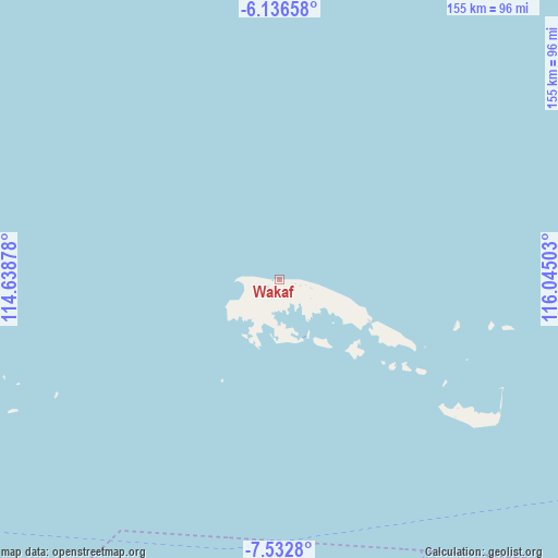
Wakaf GPS coordinates[2]
6° 50' 6.72" South, 115° 20' 30.84" East
| Map corner | latitude | longitude |
|---|---|---|
| Upper-left | -6.13658°, | 114.63878° |
| Center: | -6.8352°, | 115.3419° |
| Lower-right: | -7.5328°, | 116.04503° |
| Map W x H: | 155.2×155.2 km | = 96.4×96.4mi |
| max Lat: | 5.88969° ⇑24.7% North |
| Wakaf: | -6.8352° |
| min Lat: | ⇓75.3% South -10.934° |
| min Long | Wakaf | max Long |
| 95.1345° | 115.3419° | 140.9419° |
| W 73.9%⇐ | ⇒26.1% E |
Elevation
Elevation of Wakaf is 14 m = 46 ft, and this is 215.7 m = 708 ft below average elevation for this country.
| Max E: |
3185 m = 10449 ft | 85.2% |
| Avg. | 229.7 m = 754 ft | |
| Wakaf | 14 m = 46 ft | |
Min E: |
-1 m = -3 ft | 14.8% |
See also: Indonesia elevation on elevation.city.
Geographical zone
Wakaf is located in South Torrid zone (between Equator and Tropic of Capricorn). Distance of Equator is 760 km =472.2 mi to North.| Distance of | km | miles | from Wakaf |
|---|---|---|---|
| Equator | 760 | 472.2 | to North |
| Tropic Capricorn | 1845.9 | 1147 | to South |
| Antarctic Circle | 6641.2 | 4126.6 | to South |
| South Pole | 9247.1 | 5745.9 | to South |


Nearby cities:
15 places around Wakaf: (largest is in red/bold)
• Anyar
5.7 km =3.5 mi,  242°
242°
• Arjasa
6.8 km =4.2 mi,  246°
246°
• Bantilan
3.6 km =2.2 mi,  91°
91°
• Batuputih Atas
5.4 km =3.4 mi,  144°
144°
• Beting
4.1 km =2.5 mi, 236°
• Duko Tengah
7.3 km =4.5 mi, 250°
• Kettep
7 km =4.3 mi, 245°
• Kolla
5.4 km =3.4 mi,  171°
171°
• Larangan
6.8 km =4.2 mi,  205°
205°
• Nyangkleng
5.9 km =3.7 mi, 247°
• Parse
8.3 km =5.2 mi, 250°
• Pasar
3.6 km =2.2 mi,  223°
223°
• Pasarbaru
3.9 km =2.4 mi, 224°
• Sumbernangka Tengah
8.3 km =5.2 mi,  255°
255°
• Utarapasar
6.5 km =4 mi, 249°
Sources, notices
• [Note1] Compared only with cities in Indonesia existing in our database
• [Src1] Map data: © OpenStreetMap contributors (CC-BY-SA)
• [Src2] Other city data from geonames.org with taken over terms of usage.
• [Src3] Geographical zone / Annual Mean Temperature by Robert A. Rohde @ Wikipedia
