Luluf geodata
Luluf (East Nusa Tenggara) is a seat of a fourth-order administrative division; located in Indonesia in Asia/Makassar (GMT+8) time zone. In our database, there are 407 cities with bigger population. Compared to other cities in Indonesia, 97.2% of cities are located further ↑North; 95% of cities are located further ←West and 58.8% of cities have higher elevation than Luluf. Note1


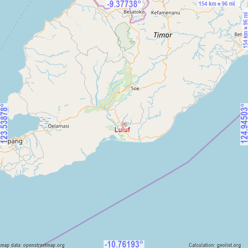
Luluf GPS coordinates[2]
10° 4' 13.44" South, 124° 14' 30.84" East
| Map corner | latitude | longitude |
|---|---|---|
| Upper-left | -9.37738°, | 123.53878° |
| Center: | -10.0704°, | 124.2419° |
| Lower-right: | -10.76193°, | 124.94503° |
| Map W x H: | 153.9×154 km | = 95.6×95.7mi |
| max Lat: | 5.88969° ⇑97.2% North |
| Luluf: | -10.0704° |
| min Lat: | ⇓2.8% South -10.934° |
| min Long | Luluf | max Long |
| 95.1345° | 124.2419° | 140.9419° |
| W 95%⇐ | ⇒5% E |
Elevation
Elevation of Luluf is 64 m = 210 ft, and this is 165.7 m = 544 ft below average elevation for this country.
| Max E: |
3185 m = 10449 ft | 58.8% |
| Avg. | 229.7 m = 754 ft | |
| Luluf | 64 m = 210 ft | |
Min E: |
-1 m = -3 ft | 41.2% |
See also: Indonesia elevation on elevation.city.
Geographical zone
Luluf is located in South Torrid zone (between Equator and Tropic of Capricorn). Distance of Equator is 1119.7 km =695.7 mi to North.| Distance of | km | miles | from Luluf |
|---|---|---|---|
| Equator | 1119.7 | 695.7 | to North |
| Tropic Capricorn | 1486.2 | 923.5 | to South |
| Antarctic Circle | 6281.5 | 3903.1 | to South |
| South Pole | 8887.3 | 5522.3 | to South |


Nearby cities:
15 places around Luluf: (largest is in red/bold)
• Aeka
9 km =5.6 mi,  257°
257°
• Bikoen
7.8 km =4.8 mi,  230°
230°
• Naensaet
13.5 km =8.4 mi,  46°
46°
• Naip
11.6 km =7.2 mi,  72°
72°
• Nunmanu
11 km =6.8 mi, 73°
• Oebai
11.5 km =7.1 mi,  327°
327°
• Oehaunu
12.4 km =7.7 mi,  276°
276°
• Oekiu
6.6 km =4.1 mi,  88°
88°
• Oetaman
7.3 km =4.5 mi,  292°
292°
• Panite
1.5 km =0.9 mi,  270°
270°
• Polo
1.5 km =0.9 mi, 294°
• Suman
11.3 km =7 mi, 87°
• Tabu
4.7 km =2.9 mi,  33°
33°
• Toifeu
2.7 km =1.7 mi,  207°
207°
• Tuaneten
8.8 km =5.5 mi,  23°
23°
Sources, notices
• [Note1] Compared only with cities in Indonesia existing in our database
• [Src1] Map data: © OpenStreetMap contributors (CC-BY-SA)
• [Src2] Other city data from geonames.org with taken over terms of usage.
• [Src3] Geographical zone / Annual Mean Temperature by Robert A. Rohde @ Wikipedia
