Kowingir geodata
Kowingir (East Nusa Tenggara) is a seat of a fourth-order administrative division; located in Indonesia in Asia/Makassar (GMT+8) time zone. In our database, there are 407 cities with bigger population. Compared to other cities in Indonesia, 92.9% of cities are located further ↑North; 82.9% of cities are located further ←West and 58.6% of cities have higher elevation than Kowingir. Note1


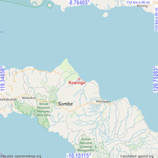
Kowingir GPS coordinates[2]
9° 27' 29.88" South, 120° 2' 58.92" East
| Map corner | latitude | longitude |
|---|---|---|
| Upper-left | -8.76405°, | 119.34658° |
| Center: | -9.4583°, | 120.0497° |
| Lower-right: | -10.15115°, | 120.75283° |
| Map W x H: | 154.2×154.2 km | = 95.8×95.8mi |
| max Lat: | 5.88969° ⇑92.9% North |
| Kowingir: | -9.4583° |
| min Lat: | ⇓7.1% South -10.934° |
| min Long | Kowingir | max Long |
| 95.1345° | 120.0497° | 140.9419° |
| W 82.9%⇐ | ⇒17.1% E |
Elevation
Elevation of Kowingir is 65 m = 213 ft, and this is 164.7 m = 540 ft below average elevation for this country.
| Max E: |
3185 m = 10449 ft | 58.6% |
| Avg. | 229.7 m = 754 ft | |
| Kowingir | 65 m = 213 ft | |
Min E: |
-1 m = -3 ft | 41.4% |
See also: Indonesia elevation on elevation.city.
Geographical zone
Kowingir is located in South Torrid zone (between Equator and Tropic of Capricorn). Distance of Equator is 1051.7 km =653.5 mi to North.| Distance of | km | miles | from Kowingir |
|---|---|---|---|
| Equator | 1051.7 | 653.5 | to North |
| Tropic Capricorn | 1554.3 | 965.8 | to South |
| Antarctic Circle | 6349.5 | 3945.4 | to South |
| South Pole | 8955.4 | 5564.6 | to South |


Nearby cities:
15 places around Kowingir: (largest is in red/bold)
• Bidihunggar
7 km =4.3 mi,  336°
336°
• Kamalaputi
31.6 km =19.6 mi,  132°
132°
• Kambatatamakawu
17.6 km =10.9 mi,  283°
283°
• Kapunduk
1 km =0.6 mi,  349°
349°
• Karara
29.9 km =18.6 mi,  135°
135°
• Karipidita
28.5 km =17.7 mi,  184°
184°
• Landa
24.2 km =15 mi, 128°
• Lokuuy
28.5 km =17.7 mi,  245°
245°
• Napu
15.2 km =9.4 mi,  297°
297°
• Ngarangiakambera
24.2 km =15 mi,  191°
191°
• Rambangaru
1 km =0.6 mi,  17°
17°
• Retijawa
6.6 km =4.1 mi,  120°
120°
• Tambulatana
17.3 km =10.7 mi,  110°
110°
• Umburarameha
31.3 km =19.4 mi, 136°
• Wairinding
25.5 km =15.8 mi,  159°
159°
Sources, notices
• [Note1] Compared only with cities in Indonesia existing in our database
• [Src1] Map data: © OpenStreetMap contributors (CC-BY-SA)
• [Src2] Other city data from geonames.org with taken over terms of usage.
• [Src3] Geographical zone / Annual Mean Temperature by Robert A. Rohde @ Wikipedia
