Bofuer geodata
Bofuer (West Papua) is a seat of a third-order administrative division; located in Indonesia in Asia/Jayapura (GMT+9) time zone. In our database, there are 407 cities with bigger population. Compared to other cities in Indonesia, 91.2% of cities are located further ↓South; 99.1% of cities are located further ←West and 71.9% of cities have higher elevation than Bofuer. Note1


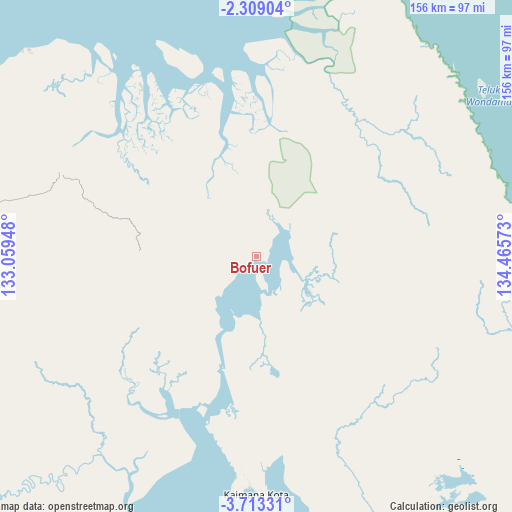
Bofuer GPS coordinates[2]
3° 0' 41.04" South, 133° 45' 45.36" East
| Map corner | latitude | longitude |
|---|---|---|
| Upper-left | -2.30904°, | 133.05948° |
| Center: | -3.0114°, | 133.7626° |
| Lower-right: | -3.71331°, | 134.46573° |
| Map W x H: | 156.1×156.1 km | = 97×97mi |
| max Lat: | 5.88969° ⇑8.8% North |
| Bofuer: | -3.0114° |
| min Lat: | ⇓91.2% South -10.934° |
| min Long | Bofuer | max Long |
| 95.1345° | 133.7626° | 140.9419° |
| W 99.1%⇐ | ⇒0.90000000000001% E |
Elevation
Elevation of Bofuer is 29 m = 95 ft, and this is 200.7 m = 658 ft below average elevation for this country.
| Max E: |
3185 m = 10449 ft | 71.9% |
| Avg. | 229.7 m = 754 ft | |
| Bofuer | 29 m = 95 ft | |
Min E: |
-1 m = -3 ft | 28.1% |
See also: Indonesia elevation on elevation.city.
Geographical zone
Bofuer is located in South Torrid zone (between Equator and Tropic of Capricorn). Distance of Equator is 334.8 km =208 mi to North.| Distance of | km | miles | from Bofuer |
|---|---|---|---|
| Equator | 334.8 | 208 | to North |
| Tropic Capricorn | 2271.1 | 1411.2 | to South |
| Antarctic Circle | 7066.3 | 4390.8 | to South |
| South Pole | 9672.2 | 6010 | to South |


Nearby cities:
15 places around Bofuer: (largest is in red/bold)
• Babo
64.9 km =40.3 mi,  324°
324°
• Bintuni
103.5 km =64.3 mi,  345°
345°
• Dulanpokpok
165.8 km =103 mi,  273°
273°
• Fakfak
162.9 km =101.2 mi, 273°
• Kaimana
72.5 km =45 mi,  179°
179°
• Kiruru
169.1 km =105.1 mi,  127°
127°
• Kokas Kota
151 km =93.8 mi,  283°
283°
• Kramongmongga
156 km =96.9 mi, 280°
• Kwantisore
130.1 km =80.8 mi,  102°
102°
• Merdey
156.9 km =97.5 mi,  342°
342°
• Onimsari
87 km =54.1 mi, 280°
• Raduria
158.8 km =98.7 mi, 272°
• Ransiki
173.2 km =107.6 mi,  15°
15°
• Rasiei
87.8 km =54.6 mi,  75°
75°
• Wasior
90.4 km =56.2 mi,  63°
63°
Sources, notices
• [Note1] Compared only with cities in Indonesia existing in our database
• [Src1] Map data: © OpenStreetMap contributors (CC-BY-SA)
• [Src2] Other city data from geonames.org with taken over terms of usage.
• [Src3] Geographical zone / Annual Mean Temperature by Robert A. Rohde @ Wikipedia
