Sungai Iyu geodata
Sungai Iyu (Aceh) is a seat of a third-order administrative division; located in Indonesia in Asia/Jakarta (GMT+7) time zone. In our database, there are 407 cities with bigger population. Compared to other cities in Indonesia, 99.1% of cities are located further ↓South; 98.4% of cities are located further →East and 95.5% of cities have higher elevation than Sungai Iyu. Note1


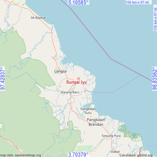
Sungai Iyu GPS coordinates[2]
4° 24' 18.54" North, 98° 7' 56.964" East
| Map corner | latitude | longitude |
|---|---|---|
| Upper-left | 5.10585°, | 97.42937° |
| Center: | 4.40515°, | 98.13249° |
| Lower-right: | 3.70379°, | 98.83562° |
| Map W x H: | 155.9×155.9 km | = 96.9×96.9mi |
| max Lat: | 5.88969° ⇑0.9% North |
| Sungai Iyu: | 4.40515° |
| min Lat: | ⇓99.1% South -10.934° |
| min Long | Sungai Iyu | max Long |
| 95.1345° | 98.13249° | 140.9419° |
| W 1.6%⇐ | ⇒98.4% E |
Elevation
Elevation of Sungai Iyu is 7 m = 23 ft, and this is 222.7 m = 731 ft below average elevation for this country.
| Max E: |
3185 m = 10449 ft | 95.5% |
| Avg. | 229.7 m = 754 ft | |
| Sungai Iyu | 7 m = 23 ft | |
Min E: |
-1 m = -3 ft | 4.5% |
See also: Indonesia elevation on elevation.city.
Geographical zone
Sungai Iyu is located in North Torrid zone (between Equator and Tropic of Cancer). Distance of Equator is 489.8 km =304.3 mi to South.| Distance of | km | miles | from Sungai Iyu |
|---|---|---|---|
| North Pole | 9517.3 | 5913.8 | to North |
| Arctic Circle | 6911.4 | 4294.5 | to North |
| Tropic Cancer | 2116.1 | 1314.9 | to North |
| Equator | 489.8 | 304.3 | to South |


Nearby cities:
15 places around Sungai Iyu: (largest is in red/bold)
• Bayeuen
32.2 km =20 mi,  309°
309°
• Beusa Seberang
60.4 km =37.5 mi,  329°
329°
• Karangbaru
16.1 km =10 mi,  226°
226°
• Langsa
19.5 km =12.1 mi,  291°
291°
• Pangkalan Brandan
45.4 km =28.2 mi,  159°
159°
• Penaron
56.2 km =34.9 mi,  297°
297°
• Peureulak
52.4 km =32.6 mi, 329°
• Pulau Tiga
41.9 km =26 mi,  222°
222°
• Rantau Panjang
54.9 km =34.1 mi, 310°
• Serawai
8.3 km =5.2 mi,  133°
133°
• Sungai Raya
46.5 km =28.9 mi, 328°
• Sungi Liput
25.7 km =16 mi,  211°
211°
• Tanjungtiram
46.4 km =28.8 mi,  145°
145°
• Tenggulun
48.1 km =29.9 mi,  196°
196°
• Tualangcut
6.7 km =4.2 mi,  266°
266°
Sources, notices
• [Note1] Compared only with cities in Indonesia existing in our database
• [Src1] Map data: © OpenStreetMap contributors (CC-BY-SA)
• [Src2] Other city data from geonames.org with taken over terms of usage.
• [Src3] Geographical zone / Annual Mean Temperature by Robert A. Rohde @ Wikipedia
