Kenyau geodata
Kenyau (West Kalimantan) is a seat of a third-order administrative division; located in Indonesia in Asia/Pontianak (GMT+7) time zone. In our database, there are 407 cities with bigger population. Compared to other cities in Indonesia, 94% of cities are located further ↓South; 65.4% of cities are located further →East and 63.2% of cities have higher elevation than Kenyau. Note1


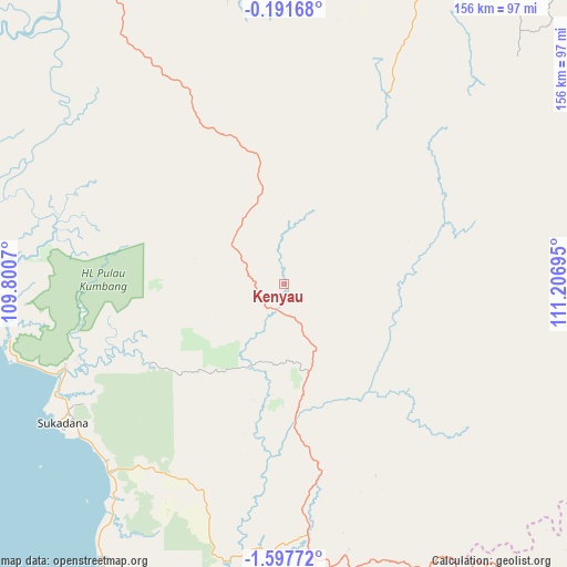
Kenyau GPS coordinates[2]
0° 53' 41.172" South, 110° 30' 13.752" East
| Map corner | latitude | longitude |
|---|---|---|
| Upper-left | -0.19168°, | 109.8007° |
| Center: | -0.89477°, | 110.50382° |
| Lower-right: | -1.59772°, | 111.20695° |
| Map W x H: | 156.3×156.3 km | = 97.1×97.1mi |
| max Lat: | 5.88969° ⇑6% North |
| Kenyau: | -0.89477° |
| min Lat: | ⇓94% South -10.934° |
| min Long | Kenyau | max Long |
| 95.1345° | 110.50382° | 140.9419° |
| W 34.6%⇐ | ⇒65.4% E |
Elevation
Elevation of Kenyau is 48 m = 157 ft, and this is 181.7 m = 596 ft below average elevation for this country.
| Max E: |
3185 m = 10449 ft | 63.2% |
| Avg. | 229.7 m = 754 ft | |
| Kenyau | 48 m = 157 ft | |
Min E: |
-1 m = -3 ft | 36.8% |
See also: Indonesia elevation on elevation.city.
Geographical zone
Kenyau is located in South Torrid zone (between Equator and Tropic of Capricorn). Distance of Equator is 99.5 km =61.8 mi to North.| Distance of | km | miles | from Kenyau |
|---|---|---|---|
| Equator | 99.5 | 61.8 | to North |
| Tropic Capricorn | 2506.4 | 1557.4 | to South |
| Antarctic Circle | 7301.7 | 4537.1 | to South |
| South Pole | 9907.6 | 6156.3 | to South |


Nearby cities:
15 places around Kenyau: (largest is in red/bold)
• Balaiberkuak
43.7 km =27.2 mi,  339°
339°
• Batuampar
110.3 km =68.5 mi,  279°
279°
• Ketapang
120.2 km =74.7 mi,  209°
209°
• Kubu
135.6 km =84.3 mi,  289°
289°
• Meliau
88.8 km =55.2 mi, 344°
• Nangah Pinoh
150.3 km =93.4 mi,  65°
65°
• Ngabang
154.9 km =96.3 mi, 336°
• Padangtikar
139.8 km =86.9 mi, 279°
• Sanggau
114.8 km =71.3 mi,  5°
5°
• Sekadau
110.5 km =68.7 mi,  23°
23°
• Sintang
153.9 km =95.6 mi,  46°
46°
• Sukadana
73.1 km =45.4 mi,  237°
237°
• Sungai Raya
149.1 km =92.6 mi,  304°
304°
• Tayan
105.7 km =65.7 mi,  334°
334°
• Terentang
113.5 km =70.5 mi, 300°
Sources, notices
• [Note1] Compared only with cities in Indonesia existing in our database
• [Src1] Map data: © OpenStreetMap contributors (CC-BY-SA)
• [Src2] Other city data from geonames.org with taken over terms of usage.
• [Src3] Geographical zone / Annual Mean Temperature by Robert A. Rohde @ Wikipedia
