Wera geodata
Wera (East Nusa Tenggara) is a seat of a fourth-order administrative division; located in Indonesia in Asia/Makassar (GMT+8) time zone. In our database, there are 407 cities with bigger population. Compared to other cities in Indonesia, 78.3% of cities are located further ↑North; 85.1% of cities are located further ←West and 93.7% of cities have higher elevation than Wera. Note1


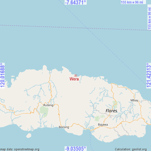
Wera GPS coordinates[2]
8° 20' 24" South, 120° 43' 12" East
| Map corner | latitude | longitude |
|---|---|---|
| Upper-left | -7.64371°, | 120.01688° |
| Center: | -8.34°, | 120.72° |
| Lower-right: | -9.03505°, | 121.42313° |
| Map W x H: | 154.7×154.7 km | = 96.1×96.1mi |
| max Lat: | 5.88969° ⇑78.3% North |
| Wera: | -8.34° |
| min Lat: | ⇓21.7% South -10.934° |
| min Long | Wera | max Long |
| 95.1345° | 120.72° | 140.9419° |
| W 85.1%⇐ | ⇒14.9% E |
Elevation
Elevation of Wera is 8 m = 26 ft, and this is 221.7 m = 727 ft below average elevation for this country.
| Max E: |
3185 m = 10449 ft | 93.7% |
| Avg. | 229.7 m = 754 ft | |
| Wera | 8 m = 26 ft | |
Min E: |
-1 m = -3 ft | 6.3% |
See also: Indonesia elevation on elevation.city.
Geographical zone
Wera is located in South Torrid zone (between Equator and Tropic of Capricorn). Distance of Equator is 927.3 km =576.2 mi to North.| Distance of | km | miles | from Wera |
|---|---|---|---|
| Equator | 927.3 | 576.2 | to North |
| Tropic Capricorn | 1678.6 | 1043 | to South |
| Antarctic Circle | 6473.9 | 4022.7 | to South |
| South Pole | 9079.7 | 5641.9 | to South |


Nearby cities:
15 places around Wera: (largest is in red/bold)
• Buti
18 km =11.2 mi,  185°
185°
• Dampek
14.5 km =9 mi,  287°
287°
• Heret
12.5 km =7.8 mi,  233°
233°
• Kembo
18.8 km =11.7 mi,  109°
109°
• Lengkoajang
19.2 km =11.9 mi, 193°
• Lengkorandang
7.1 km =4.4 mi,  96°
96°
• Nao
17.1 km =10.6 mi,  174°
174°
• Necak
20.2 km =12.6 mi,  213°
213°
• Pota
4.5 km =2.8 mi,  91°
91°
• Rado
15.8 km =9.8 mi,  199°
199°
• Reweng
19.6 km =12.2 mi, 205°
• Sarae
4.3 km =2.7 mi, 89°
• Waenenda
15.7 km =9.8 mi,  216°
216°
• Waetuwa
13.3 km =8.3 mi,  250°
250°
• Waso
17.8 km =11.1 mi,  235°
235°
Sources, notices
• [Note1] Compared only with cities in Indonesia existing in our database
• [Src1] Map data: © OpenStreetMap contributors (CC-BY-SA)
• [Src2] Other city data from geonames.org with taken over terms of usage.
• [Src3] Geographical zone / Annual Mean Temperature by Robert A. Rohde @ Wikipedia
