Sungaikupang geodata
Sungaikupang (South Kalimantan) is a seat of a third-order administrative division; located in Indonesia in Asia/Makassar (GMT+8) time zone. In our database, there are 407 cities with bigger population. Compared to other cities in Indonesia, 91.1% of cities are located further ↓South; 75.8% of cities are located further ←West and 85.2% of cities have higher elevation than Sungaikupang. Note1


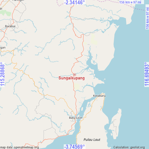
Sungaikupang GPS coordinates[2]
3° 2' 37.68" South, 115° 59' 30.48" East
| Map corner | latitude | longitude |
|---|---|---|
| Upper-left | -2.34146°, | 115.28868° |
| Center: | -3.0438°, | 115.9918° |
| Lower-right: | -3.74569°, | 116.69493° |
| Map W x H: | 156.1×156.1 km | = 97×97mi |
| max Lat: | 5.88969° ⇑8.9% North |
| Sungaikupang: | -3.0438° |
| min Lat: | ⇓91.1% South -10.934° |
| min Long | Sungaikupang | max Long |
| 95.1345° | 115.9918° | 140.9419° |
| W 75.8%⇐ | ⇒24.2% E |
Elevation
Elevation of Sungaikupang is 14 m = 46 ft, and this is 215.7 m = 708 ft below average elevation for this country.
| Max E: |
3185 m = 10449 ft | 85.2% |
| Avg. | 229.7 m = 754 ft | |
| Sungaikupang | 14 m = 46 ft | |
Min E: |
-1 m = -3 ft | 14.8% |
See also: Indonesia elevation on elevation.city.
Geographical zone
Sungaikupang is located in South Torrid zone (between Equator and Tropic of Capricorn). Distance of Equator is 338.4 km =210.3 mi to North.| Distance of | km | miles | from Sungaikupang |
|---|---|---|---|
| Equator | 338.4 | 210.3 | to North |
| Tropic Capricorn | 2267.5 | 1409 | to South |
| Antarctic Circle | 7062.7 | 4388.6 | to South |
| South Pole | 9668.6 | 6007.8 | to South |


Nearby cities:
15 places around Sungaikupang: (largest is in red/bold)
• Batulicin
41.9 km =26 mi,  177°
177°
• Belimbing
71.6 km =44.5 mi,  275°
275°
• Binawara
53.7 km =33.4 mi,  204°
204°
• Gunungbatubesar
57.7 km =35.9 mi,  35°
35°
• Hampang
22.1 km =13.7 mi,  309°
309°
• Kotabaru Hilir
34.1 km =21.2 mi,  130°
130°
• Manunggulama
62 km =38.5 mi,  18°
18°
• Pagatan
63 km =39.1 mi,  185°
185°
• Pantai
18.7 km =11.6 mi,  121°
121°
• Pudi
42.7 km =26.5 mi,  66°
66°
• Stagen
35.6 km =22.1 mi,  144°
144°
• Sungaibali
60.7 km =37.7 mi, 131°
• Tanjungbatu
26.1 km =16.2 mi,  79°
79°
• Tanjungsamalantakan
69.2 km =43 mi, 42°
• Telagalangsat
55.2 km =34.3 mi,  300°
300°
Sources, notices
• [Note1] Compared only with cities in Indonesia existing in our database
• [Src1] Map data: © OpenStreetMap contributors (CC-BY-SA)
• [Src2] Other city data from geonames.org with taken over terms of usage.
• [Src3] Geographical zone / Annual Mean Temperature by Robert A. Rohde @ Wikipedia
