Gunungbatubesar geodata
Gunungbatubesar (South Kalimantan) is a seat of a third-order administrative division; located in Indonesia in Asia/Makassar (GMT+8) time zone. In our database, there are 407 cities with bigger population. Compared to other cities in Indonesia, 92% of cities are located further ↓South; 76.6% of cities are located further ←West and 99.8% of cities have higher elevation than Gunungbatubesar. Note1


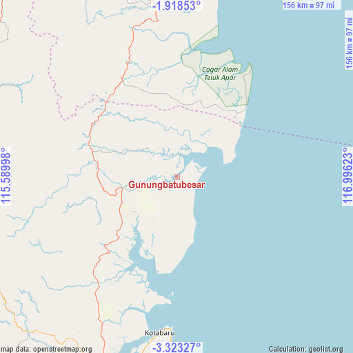
Gunungbatubesar GPS coordinates[2]
2° 37' 15.96" South, 116° 17' 35.16" East
| Map corner | latitude | longitude |
|---|---|---|
| Upper-left | -1.91853°, | 115.58998° |
| Center: | -2.6211°, | 116.2931° |
| Lower-right: | -3.32327°, | 116.99623° |
| Map W x H: | 156.2×156.2 km | = 97.1×97.1mi |
| max Lat: | 5.88969° ⇑8% North |
| Gunungbatubesar: | -2.6211° |
| min Lat: | ⇓92% South -10.934° |
| min Long | Gunungbatubesar | max Long |
| 95.1345° | 116.2931° | 140.9419° |
| W 76.6%⇐ | ⇒23.4% E |
Elevation
Elevation of Gunungbatubesar is 1 m = 3 ft, and this is 228.7 m = 750 ft below average elevation for this country.
| Max E: |
3185 m = 10449 ft | 99.8% |
| Avg. | 229.7 m = 754 ft | |
| Gunungbatubesar | 1 m = 3 ft | |
Min E: |
-1 m = -3 ft | 0.2% |
See also: Indonesia elevation on elevation.city.
Geographical zone
Gunungbatubesar is located in South Torrid zone (between Equator and Tropic of Capricorn). Distance of Equator is 291.4 km =181.1 mi to North.| Distance of | km | miles | from Gunungbatubesar |
|---|---|---|---|
| Equator | 291.4 | 181.1 | to North |
| Tropic Capricorn | 2314.5 | 1438.2 | to South |
| Antarctic Circle | 7109.7 | 4417.8 | to South |
| South Pole | 9715.6 | 6037 | to South |


Nearby cities:
15 places around Gunungbatubesar: (largest is in red/bold)
• Awayan
73.2 km =45.5 mi,  283°
283°
• Bakau
24.2 km =15 mi,  345°
345°
• Halong
82 km =51 mi,  299°
299°
• Hampang
60.4 km =37.5 mi,  236°
236°
• Kerang
49.6 km =30.8 mi,  330°
330°
• Kotabaru Hilir
69.5 km =43.2 mi,  186°
186°
• Manunggulama
18.5 km =11.5 mi,  310°
310°
• Pantai
59.4 km =36.9 mi,  197°
197°
• Pudi
30.2 km =18.8 mi,  169°
169°
• Stagen
77.1 km =47.9 mi, 189°
• Sungaikupang
57.7 km =35.9 mi,  215°
215°
• Tana Paser
80.4 km =50 mi, 351°
• Tanjungbatu
42.9 km =26.7 mi, 190°
• Tanjungsamalantakan
13.7 km =8.5 mi,  71°
71°
• Telagalangsat
83.1 km =51.6 mi,  256°
256°
Sources, notices
• [Note1] Compared only with cities in Indonesia existing in our database
• [Src1] Map data: © OpenStreetMap contributors (CC-BY-SA)
• [Src2] Other city data from geonames.org with taken over terms of usage.
• [Src3] Geographical zone / Annual Mean Temperature by Robert A. Rohde @ Wikipedia
