Penaraga geodata
Penaraga (West Nusa Tenggara) is a seat of a fourth-order administrative division; located in Indonesia in Asia/Makassar (GMT+8) time zone. In our database, there are 407 cities with bigger population. Compared to other cities in Indonesia, 82.2% of cities are located further ↑North; 80.1% of cities are located further ←West and 74.9% of cities have higher elevation than Penaraga. Note1


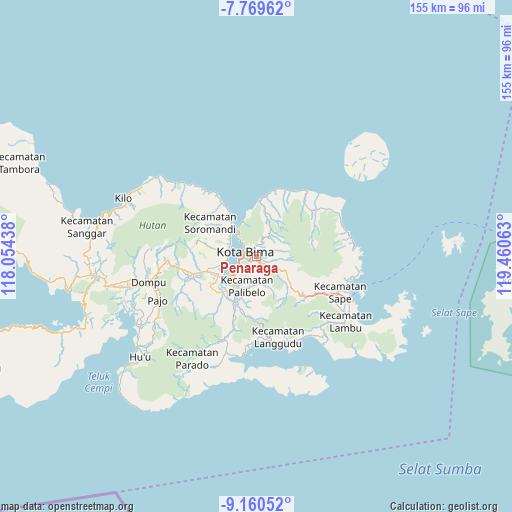
Penaraga GPS coordinates[2]
8° 27' 56.52" South, 118° 45' 27" East
| Map corner | latitude | longitude |
|---|---|---|
| Upper-left | -7.76962°, | 118.05438° |
| Center: | -8.4657°, | 118.7575° |
| Lower-right: | -9.16052°, | 119.46063° |
| Map W x H: | 154.7×154.7 km | = 96.1×96.1mi |
| max Lat: | 5.88969° ⇑82.2% North |
| Penaraga: | -8.4657° |
| min Lat: | ⇓17.8% South -10.934° |
| min Long | Penaraga | max Long |
| 95.1345° | 118.7575° | 140.9419° |
| W 80.1%⇐ | ⇒19.9% E |
Elevation
Elevation of Penaraga is 25 m = 82 ft, and this is 204.7 m = 672 ft below average elevation for this country.
| Max E: |
3185 m = 10449 ft | 74.9% |
| Avg. | 229.7 m = 754 ft | |
| Penaraga | 25 m = 82 ft | |
Min E: |
-1 m = -3 ft | 25.1% |
See also: Indonesia elevation on elevation.city.
Geographical zone
Penaraga is located in South Torrid zone (between Equator and Tropic of Capricorn). Distance of Equator is 941.3 km =584.9 mi to North.| Distance of | km | miles | from Penaraga |
|---|---|---|---|
| Equator | 941.3 | 584.9 | to North |
| Tropic Capricorn | 1664.6 | 1034.3 | to South |
| Antarctic Circle | 6459.9 | 4014 | to South |
| South Pole | 9065.8 | 5633.2 | to South |


Nearby cities:
15 places around Penaraga: (largest is in red/bold)
• Bima
3.4 km =2.1 mi,  280°
280°
• Dodu Dua
5 km =3.1 mi,  121°
121°
• Keli
9.6 km =6 mi,  28°
28°
• Kendo Satu
2.5 km =1.6 mi,  97°
97°
• Kumbe
2.5 km =1.6 mi,  146°
146°
• Lampe Satu
7 km =4.3 mi,  136°
136°
• Lela
2.9 km =1.8 mi,  346°
346°
• Ntobo
3 km =1.9 mi,  53°
53°
• Ntonggu
7.2 km =4.5 mi,  176°
176°
• Nungga
4.3 km =2.7 mi, 116°
• Penanae
0.9 km =0.6 mi, 49°
• Pisang
0.5 km =0.3 mi, 181°
• Raba
1.3 km =0.8 mi,  292°
292°
• Rato
1.3 km =0.8 mi, 139°
• Rontu
1.6 km =1 mi,  194°
194°
Sources, notices
• [Note1] Compared only with cities in Indonesia existing in our database
• [Src1] Map data: © OpenStreetMap contributors (CC-BY-SA)
• [Src2] Other city data from geonames.org with taken over terms of usage.
• [Src3] Geographical zone / Annual Mean Temperature by Robert A. Rohde @ Wikipedia
