Laiwui geodata
Laiwui (North Maluku) is a seat of a third-order administrative division; located in Indonesia in Asia/Jayapura (GMT+9) time zone. In our database, there are 407 cities with bigger population. Compared to other cities in Indonesia, 93.6% of cities are located further ↓South; 98.4% of cities are located further ←West and 78.9% of cities have higher elevation than Laiwui. Note1


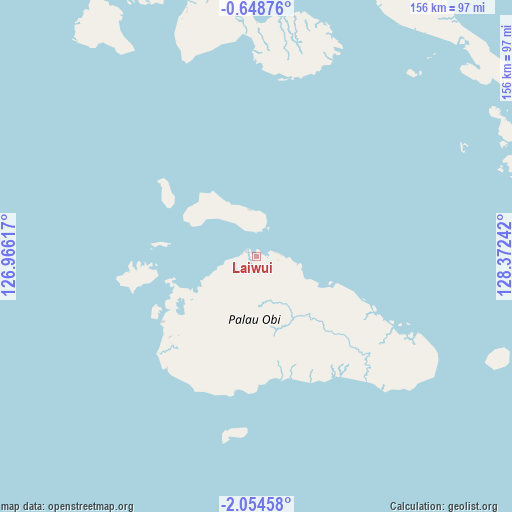
Laiwui GPS coordinates[2]
1° 21' 6.372" South, 127° 40' 9.444" East
| Map corner | latitude | longitude |
|---|---|---|
| Upper-left | -0.64876°, | 126.96617° |
| Center: | -1.35177°, | 127.66929° |
| Lower-right: | -2.05458°, | 128.37242° |
| Map W x H: | 156.3×156.3 km | = 97.1×97.1mi |
| max Lat: | 5.88969° ⇑6.4% North |
| Laiwui: | -1.35177° |
| min Lat: | ⇓93.6% South -10.934° |
| min Long | Laiwui | max Long |
| 95.1345° | 127.66929° | 140.9419° |
| W 98.4%⇐ | ⇒1.6% E |
Elevation
Elevation of Laiwui is 20 m = 66 ft, and this is 209.7 m = 688 ft below average elevation for this country.
| Max E: |
3185 m = 10449 ft | 78.9% |
| Avg. | 229.7 m = 754 ft | |
| Laiwui | 20 m = 66 ft | |
Min E: |
-1 m = -3 ft | 21.1% |
See also: Indonesia elevation on elevation.city.
Geographical zone
Laiwui is located in South Torrid zone (between Equator and Tropic of Capricorn). Distance of Equator is 150.3 km =93.4 mi to North.| Distance of | km | miles | from Laiwui |
|---|---|---|---|
| Equator | 150.3 | 93.4 | to North |
| Tropic Capricorn | 2455.6 | 1525.8 | to South |
| Antarctic Circle | 7250.9 | 4505.5 | to South |
| South Pole | 9856.8 | 6124.7 | to South |


Nearby cities:
15 places around Laiwui: (largest is in red/bold)
• Buli
236.8 km =147.1 mi,  16°
16°
• Dufa-Dufa
114.6 km =71.2 mi,  329°
329°
• Guruafin
163.7 km =101.7 mi,  350°
350°
• Jambula
237.8 km =147.8 mi, 350°
• Kairatu
235.5 km =146.3 mi,  160°
160°
• Labuha
83.5 km =51.9 mi, 345°
• Mafa
157.5 km =97.9 mi,  8°
8°
• Malifud
192.7 km =119.7 mi, 351°
• Namlea
221.8 km =137.8 mi,  196°
196°
• Petani
216.5 km =134.5 mi,  30°
30°
• Piru
198.9 km =123.6 mi, 162°
• Sanana
203.7 km =126.6 mi,  247°
247°
• Sofifi
232.6 km =144.5 mi,  356°
356°
• Taniwel
189.5 km =117.7 mi,  151°
151°
• Weda
188.3 km =117 mi, 6°
Sources, notices
• [Note1] Compared only with cities in Indonesia existing in our database
• [Src1] Map data: © OpenStreetMap contributors (CC-BY-SA)
• [Src2] Other city data from geonames.org with taken over terms of usage.
• [Src3] Geographical zone / Annual Mean Temperature by Robert A. Rohde @ Wikipedia
