Herzliya geodata
Herzliya (Tel Aviv) is a populated place; located in Israel in Asia/Jerusalem (GMT+3) time zone. With population of 83,600 people, there are 17 cities with bigger population in this country. Compared to other cities in Israel, 53.8% of cities are located further ↑North; 84% of cities are located further →East and 88.8% of cities have higher elevation than Herzliya. Note1


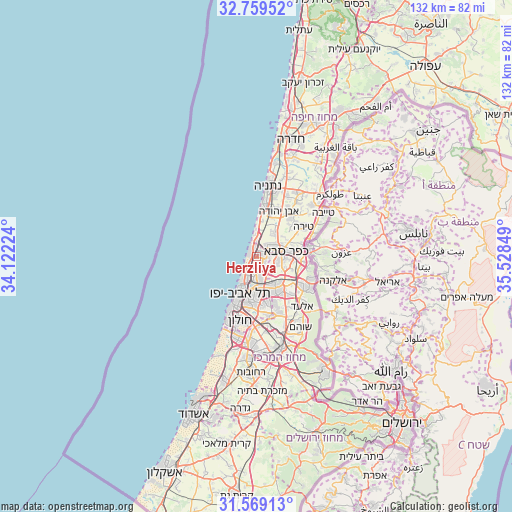
Herzliya GPS coordinates[2]
32° 9' 58.572" North, 34° 49' 31.296" East
| Map corner | latitude | longitude |
|---|---|---|
| Upper-left | 32.75952°, | 34.12224° |
| Center: | 32.16627°, | 34.82536° |
| Lower-right: | 31.56913°, | 35.52849° |
| Map W x H: | 132.4×132.4 km | = 82.3×82.3mi |
| max Lat: | 33.27918° ⇑53.8% North |
| Herzliya: | 32.16627° |
| min Lat: | ⇓46.2% South 29.55805° |
| min Long | Herzliya | max Long |
| 34.57149° | 34.82536° | 35.81084° |
| W 16%⇐ | ⇒84% E |
Elevation
Elevation of Herzliya is 28 m = 92 ft, and this is 195.4 m = 641 ft below average elevation for this country.
| Max E: |
988 m = 3241 ft | 88.8% |
| Avg. | 223.4 m = 733 ft | |
| Herzliya | 28 m = 92 ft | |
Min E: |
-380 m = -1247 ft | 11.2% |
See also: Herzliya elevation on elevation.city.
Geographical zone
Herzliya is located in North temperate zone (between Tropic of Cancer and the Arctic Circle). Distance of this Northern Tropic circle is 970.6 km =603.1 mi to South.| Distance of | km | miles | from Herzliya |
|---|---|---|---|
| North Pole | 6430.5 | 3995.7 | to North |
| Arctic Circle | 3824.6 | 2376.5 | to North |
| Tropic Cancer | 970.6 | 603.1 | to South |
| Equator | 3576.6 | 2222.4 | to South |


Nearby cities:
15 places around Herzliya: (largest is in red/bold)
• Bnei Brak
9.5 km =5.9 mi,  175°
175°
• Ganei Tikva
12.7 km =7.9 mi,  159°
159°
• Giv'at Shmuel
10 km =6.2 mi,  167°
167°
• Givatayim
10.5 km =6.5 mi,  186°
186°
• Herzliya Pituah
2.3 km =1.4 mi,  292°
292°
• Hod HaSharon
6.4 km =4 mi,  96°
96°
• Jaljūlya
12.2 km =7.6 mi, 96°
• Kefar Shemaryahu
2.2 km =1.4 mi,  348°
348°
• Kfar Saba
7.7 km =4.8 mi,  82°
82°
• Petaẖ Tiqwa
10.6 km =6.6 mi,  146°
146°
• Ra'anana
5 km =3.1 mi,  67°
67°
• Ramat Gan
9.4 km =5.8 mi, 188°
• Ramat HaSharon
2.6 km =1.6 mi, 149°
• Tel Aviv
10.4 km =6.5 mi,  203°
203°
• Tel Mond
12.7 km =7.9 mi,  42°
42°
Sources, notices
• [Note1] Compared only with cities in Israel existing in our database
• [Src1] Map data: © OpenStreetMap contributors (CC-BY-SA)
• [Src2] Other city data from geonames.org with taken over terms of usage.
• [Src3] Geographical zone / Annual Mean Temperature by Robert A. Rohde @ Wikipedia
