Quepem geodata
Quepem (Goa) is a populated place; located in India in Asia/Kolkata (GMT+5.5) time zone. With population of 13,041 people, there are 2654 cities with bigger population in this country. Compared to other cities in India, 81.3% of cities are located further ↑North; 88.9% of cities are located further →East and 88.9% of cities have higher elevation than Quepem. Note1


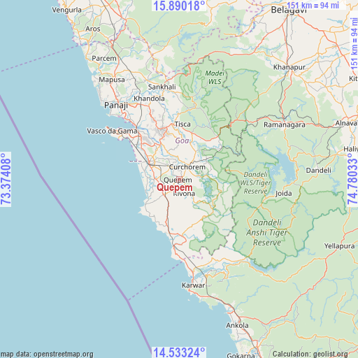
Quepem GPS coordinates[2]
15° 12' 46.08" North, 74° 4' 37.92" East
| Map corner | latitude | longitude |
|---|---|---|
| Upper-left | 15.89018°, | 73.37408° |
| Center: | 15.2128°, | 74.0772° |
| Lower-right: | 14.53324°, | 74.78033° |
| Map W x H: | 150.9×150.9 km | = 93.8×93.8mi |
| max Lat: | 34.9274° ⇑81.3% North |
| Quepem: | 15.2128° |
| min Lat: | ⇓18.7% South 8.09008° |
| min Long | Quepem | max Long |
| 68.82655° | 74.0772° | 96.81° |
| W 11.1%⇐ | ⇒88.9% E |
Elevation
Elevation of Quepem is 20 m = 66 ft, and this is 275.6 m = 904 ft below average elevation for this country.
| Max E: |
3681 m = 12077 ft | 88.9% |
| Avg. | 295.6 m = 970 ft | |
| Quepem | 20 m = 66 ft | |
Min E: |
1 m = 3 ft | 11.1% |
See also: India elevation on elevation.city.
Geographical zone
Quepem is located in North Torrid zone (between Equator and Tropic of Cancer). Distance of this Northern Tropic circle is 914.4 km =568.2 mi to North.| Distance of | km | miles | from Quepem |
|---|---|---|---|
| North Pole | 8315.6 | 5167.1 | to North |
| Arctic Circle | 5709.7 | 3547.8 | to North |
| Tropic Cancer | 914.4 | 568.2 | to North |
| Equator | 1691.5 | 1051 | to South |


Nearby cities:
15 places around Quepem: (largest is in red/bold)
• Benaulim
17 km =10.6 mi,  289°
289°
• Cavelossim
15.2 km =9.4 mi,  252°
252°
• Chinchinim
10.9 km =6.8 mi,  270°
270°
• Colva
18.2 km =11.3 mi, 294°
• Cuncolim
9.8 km =6.1 mi, 246°
• Curchorem
6.6 km =4.1 mi,  30°
30°
• Davorlim
11.2 km =7 mi,  305°
305°
• Kānkon
20.9 km =13 mi,  189°
189°
• Madgaon
14.6 km =9.1 mi,  298°
298°
• Ponda
22.2 km =13.8 mi,  342°
342°
• Queula
22 km =13.7 mi,  333°
333°
• Raia
15.3 km =9.5 mi, 311°
• Sanguem
8.2 km =5.1 mi,  77°
77°
• Sanvordem
7.2 km =4.5 mi,  39°
39°
• Varca
14.5 km =9 mi,  278°
278°
Sources, notices
• [Note1] Compared only with cities in India existing in our database
• [Src1] Map data: © OpenStreetMap contributors (CC-BY-SA)
• [Src2] Other city data from geonames.org with taken over terms of usage.
• [Src3] Geographical zone / Annual Mean Temperature by Robert A. Rohde @ Wikipedia
