Pākāla geodata
Pākāla (Andhra Pradesh) is a populated place; located in India in Asia/Kolkata (GMT+5.5) time zone. With population of 24,680 people, there are 1727 cities with bigger population in this country. Compared to other cities in India, 84.4% of cities are located further ↑North; 60% of cities are located further ←West and 73.5% of cities have lower elevation than Pākāla. Note1


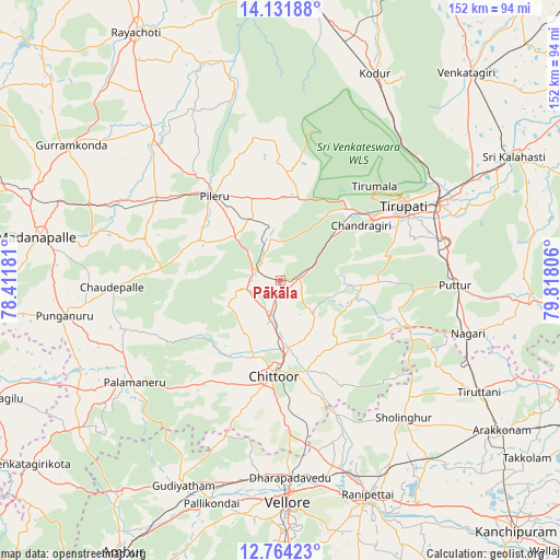
Pākāla GPS coordinates[2]
13° 26' 56.508" North, 79° 6' 53.748" East
| Map corner | latitude | longitude |
|---|---|---|
| Upper-left | 14.13188°, | 78.41181° |
| Center: | 13.44903°, | 79.11493° |
| Lower-right: | 12.76423°, | 79.81806° |
| Map W x H: | 152.1×152.1 km | = 94.5×94.5mi |
| max Lat: | 34.9274° ⇑84.4% North |
| Pākāla: | 13.44903° |
| min Lat: | ⇓15.6% South 8.09008° |
| min Long | Pākāla | max Long |
| 68.82655° | 79.11493° | 96.81° |
| W 60%⇐ | ⇒40% E |
Elevation
Elevation of Pākāla is 367 m = 1204 ft, and this is 71.4 m = 234 ft above average elevation for this country.
| Max E: |
3681 m = 12077 ft | 26.5% |
| Pākāla | 367 m 1204 ft | |
| Avg. | 295.6 m = 970 ft | |
Min E: |
1 m = 3 ft | 73.5% |
See also: India elevation on elevation.city.
Geographical zone
Pākāla is located in North Torrid zone (between Equator and Tropic of Cancer). Distance of this Northern Tropic circle is 1110.5 km =690 mi to North.| Distance of | km | miles | from Pākāla |
|---|---|---|---|
| North Pole | 8511.7 | 5288.9 | to North |
| Arctic Circle | 5905.8 | 3669.7 | to North |
| Tropic Cancer | 1110.5 | 690 | to North |
| Equator | 1495.4 | 929.2 | to South |


Nearby cities:
15 places around Pākāla: (largest is in red/bold)
• Akkarampalle
39.8 km =24.7 mi,  55°
55°
• Chittoor
26.6 km =16.5 mi,  184°
184°
• Kātpādi
53.4 km =33.2 mi, 176°
• Nagari
52.8 km =32.8 mi,  105°
105°
• Narasingāpuram
28 km =17.4 mi,  51°
51°
• Nārāyanavanam
51.3 km =31.9 mi,  92°
92°
• Pallipattu
37.7 km =23.4 mi, 108°
• Palmaner
48.5 km =30.1 mi,  235°
235°
• Pudūr
50.2 km =31.2 mi, 176°
• Puttūr
47.4 km =29.5 mi, 90°
• Renigunta
48.5 km =30.1 mi, 62°
• Rāmāpuram
39.4 km =24.5 mi,  169°
169°
• Sholinghur
49.5 km =30.8 mi,  138°
138°
• Tirumala
36.4 km =22.6 mi,  44°
44°
• Tirupati
38.9 km =24.2 mi, 57°
Sources, notices
• [Note1] Compared only with cities in India existing in our database
• [Src1] Map data: © OpenStreetMap contributors (CC-BY-SA)
• [Src2] Other city data from geonames.org with taken over terms of usage.
• [Src3] Geographical zone / Annual Mean Temperature by Robert A. Rohde @ Wikipedia
