Specchia geodata
Specchia (Apulia) is a seat of a third-order administrative division; located in Italy in Europe/Rome (GMT+2) time zone. With population of 4,348 people, there are 2214 cities with bigger population in this country. Compared to other cities in Italy, 88.3% of cities are located further ↑North; 99.5% of cities are located further ←West and 63.5% of cities have higher elevation than Specchia. Note1


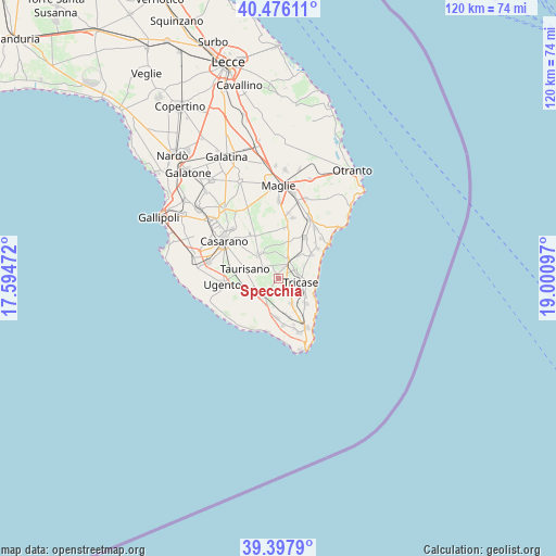
Specchia GPS coordinates[2]
39° 56' 20.868" North, 18° 17' 52.224" East
| Map corner | latitude | longitude |
|---|---|---|
| Upper-left | 40.47611°, | 17.59472° |
| Center: | 39.93913°, | 18.29784° |
| Lower-right: | 39.3979°, | 19.00097° |
| Map W x H: | 119.9×119.9 km | = 74.5×74.5mi |
| max Lat: | 47.04031° ⇑88.3% North |
| Specchia: | 39.93913° |
| min Lat: | ⇓11.7% South 35.50142° |
| min Long | Specchia | max Long |
| 6.69888° | 18.29784° | 18.48682° |
| W 99.5%⇐ | ⇒0.5% E |
Elevation
Elevation of Specchia is 137 m = 449 ft, and this is 169.7 m = 557 ft below average elevation for this country.
| Max E: |
2085 m = 6841 ft | 63.5% |
| Avg. | 306.7 m = 1006 ft | |
| Specchia | 137 m = 449 ft | |
Min E: |
-4 m = -13 ft | 36.5% |
See also: Italy elevation on elevation.city.
Geographical zone
Specchia is located in North temperate zone (between Tropic of Cancer and the Arctic Circle). Distance of this Northern Tropic circle is 1834.9 km =1140.2 mi to South.| Distance of | km | miles | from Specchia |
|---|---|---|---|
| North Pole | 5566.2 | 3458.7 | to North |
| Arctic Circle | 2960.4 | 1839.5 | to North |
| Tropic Cancer | 1834.9 | 1140.2 | to South |
| Equator | 4440.8 | 2759.4 | to South |


Nearby cities:
15 places around Specchia: (largest is in red/bold)
• Acquarica del Capo
5.4 km =3.4 mi,  233°
233°
• Alessano
5.8 km =3.6 mi,  149°
149°
• Castiglione
6.6 km =4.1 mi,  42°
42°
• Corsano
8.1 km =5 mi,  133°
133°
• Depressa
5.9 km =3.7 mi,  67°
67°
• Lucugnano
2.1 km =1.3 mi,  102°
102°
• Miggiano
2.8 km =1.7 mi,  24°
24°
• Montesano Salentino
4.6 km =2.9 mi,  27°
27°
• Montesardo
7.9 km =4.9 mi, 153°
• Presicce
5.2 km =3.2 mi,  214°
214°
• Ruffano
6.3 km =3.9 mi,  319°
319°
• Ruggiano
7.8 km =4.8 mi,  168°
168°
• Taurisano
7.4 km =4.6 mi,  286°
286°
• Tiggiano
7 km =4.3 mi, 125°
• Tricase
4.9 km =3 mi, 101°
Sources, notices
• [Note1] Compared only with cities in Italy existing in our database
• [Src1] Map data: © OpenStreetMap contributors (CC-BY-SA)
• [Src2] Other city data from geonames.org with taken over terms of usage.
• [Src3] Geographical zone / Annual Mean Temperature by Robert A. Rohde @ Wikipedia
