Rende geodata
Rende (Calabria) is a seat of a third-order administrative division; located in Italy in Europe/Rome (GMT+2) time zone. With population of 1,404 people, there are 5353 cities with bigger population in this country. Compared to other cities in Italy, 91.1% of cities are located further ↑North; 94.3% of cities are located further ←West and 75.9% of cities have lower elevation than Rende. Note1


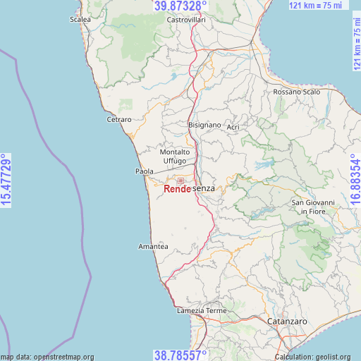
Rende GPS coordinates[2]
39° 19' 53.544" North, 16° 10' 49.476" East
| Map corner | latitude | longitude |
|---|---|---|
| Upper-left | 39.87328°, | 15.47729° |
| Center: | 39.33154°, | 16.18041° |
| Lower-right: | 38.78557°, | 16.88354° |
| Map W x H: | 120.9×120.9 km | = 75.1×75.1mi |
| max Lat: | 47.04031° ⇑91.1% North |
| Rende: | 39.33154° |
| min Lat: | ⇓8.9% South 35.50142° |
| min Long | Rende | max Long |
| 6.69888° | 16.18041° | 18.48682° |
| W 94.3%⇐ | ⇒5.7% E |
Elevation
Elevation of Rende is 464 m = 1522 ft, and this is 157.3 m = 516 ft above average elevation for this country.
| Max E: |
2085 m = 6841 ft | 24.1% |
| Rende | 464 m 1522 ft | |
| Avg. | 306.7 m = 1006 ft | |
Min E: |
-4 m = -13 ft | 75.9% |
See also: Italy elevation on elevation.city.
Geographical zone
Rende is located in North temperate zone (between Tropic of Cancer and the Arctic Circle). Distance of this Northern Tropic circle is 1767.3 km =1098.1 mi to South.| Distance of | km | miles | from Rende |
|---|---|---|---|
| North Pole | 5633.8 | 3500.7 | to North |
| Arctic Circle | 3027.9 | 1881.4 | to North |
| Tropic Cancer | 1767.3 | 1098.1 | to South |
| Equator | 4373.3 | 2717.4 | to South |


Nearby cities:
15 places around Rende: (largest is in red/bold)
• Amendola
4 km =2.5 mi,  289°
289°
• Andreotta
4.2 km =2.6 mi,  129°
129°
• Arcavacata
3.8 km =2.4 mi,  38°
38°
• Bucita
4.5 km =2.8 mi, 293°
• Castrolibero
2.7 km =1.7 mi,  153°
153°
• Fontanesi-Santa Lucia
3.5 km =2.2 mi,  165°
165°
• Marano Marchesato
2.2 km =1.4 mi,  195°
195°
• Marano Principato
3.8 km =2.4 mi,  187°
187°
• Ortomatera
3 km =1.9 mi,  104°
104°
• Quattromiglia
5.2 km =3.2 mi,  73°
73°
• San Fili
3.2 km =2 mi, 286°
• San Vincenzo la Costa
4.5 km =2.8 mi,  326°
326°
• Santo Stefano
2.4 km =1.5 mi, 42°
• Serra Miceli
3.4 km =2.1 mi, 148°
• Surdo
1.9 km =1.2 mi, 103°
Sources, notices
• [Note1] Compared only with cities in Italy existing in our database
• [Src1] Map data: © OpenStreetMap contributors (CC-BY-SA)
• [Src2] Other city data from geonames.org with taken over terms of usage.
• [Src3] Geographical zone / Annual Mean Temperature by Robert A. Rohde @ Wikipedia
