Masainas geodata
Masainas (Sardinia) is a seat of a third-order administrative division; located in Italy in Europe/Rome (GMT+2) time zone. With population of 882 people, there are 7255 cities with bigger population in this country. Compared to other cities in Italy, 92.4% of cities are located further ↑North; 86.4% of cities are located further →East and 79% of cities have higher elevation than Masainas. Note1


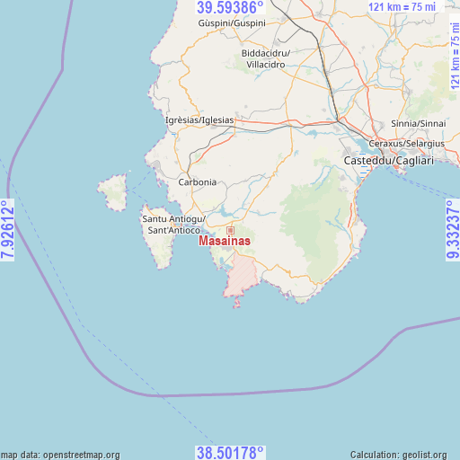
Masainas GPS coordinates[2]
39° 2' 59.748" North, 8° 37' 45.264" East
| Map corner | latitude | longitude |
|---|---|---|
| Upper-left | 39.59386°, | 7.92612° |
| Center: | 39.04993°, | 8.62924° |
| Lower-right: | 38.50178°, | 9.33237° |
| Map W x H: | 121.4×121.4 km | = 75.4×75.4mi |
| max Lat: | 47.04031° ⇑92.4% North |
| Masainas: | 39.04993° |
| min Lat: | ⇓7.6% South 35.50142° |
| min Long | Masainas | max Long |
| 6.69888° | 8.62924° | 18.48682° |
| W 13.6%⇐ | ⇒86.4% E |
Elevation
Elevation of Masainas is 54 m = 177 ft, and this is 252.7 m = 829 ft below average elevation for this country.
| Max E: |
2085 m = 6841 ft | 79% |
| Avg. | 306.7 m = 1006 ft | |
| Masainas | 54 m = 177 ft | |
Min E: |
-4 m = -13 ft | 21% |
See also: Italy elevation on elevation.city.
Geographical zone
Masainas is located in North temperate zone (between Tropic of Cancer and the Arctic Circle). Distance of this Northern Tropic circle is 1736 km =1078.7 mi to South.| Distance of | km | miles | from Masainas |
|---|---|---|---|
| North Pole | 5665.1 | 3520.1 | to North |
| Arctic Circle | 3059.2 | 1900.9 | to North |
| Tropic Cancer | 1736 | 1078.7 | to South |
| Equator | 4341.9 | 2697.9 | to South |


Nearby cities:
15 places around Masainas: (largest is in red/bold)
• Carbonia
15.8 km =9.8 mi,  323°
323°
• Giba
2.5 km =1.6 mi,  13°
13°
• Is Urigus
15 km =9.3 mi,  309°
309°
• Narcao
13.7 km =8.5 mi,  16°
16°
• Nuxis
15 km =9.3 mi,  39°
39°
• Perdaxius
12.4 km =7.7 mi,  352°
352°
• Piscinas
4.2 km =2.6 mi,  49°
49°
• Riomurtas
15.9 km =9.9 mi, 24°
• San Giovanni Suergiu
11.5 km =7.1 mi, 305°
• Sant'Anna Arresi
5 km =3.1 mi,  166°
166°
• Sant'Antioco
15.4 km =9.6 mi,  278°
278°
• Santadi
8.7 km =5.4 mi,  56°
56°
• Teulada
15.4 km =9.6 mi,  127°
127°
• Tratalias
7.4 km =4.6 mi, 323°
• Villaperuccio
7.7 km =4.8 mi,  27°
27°
Sources, notices
• [Note1] Compared only with cities in Italy existing in our database
• [Src1] Map data: © OpenStreetMap contributors (CC-BY-SA)
• [Src2] Other city data from geonames.org with taken over terms of usage.
• [Src3] Geographical zone / Annual Mean Temperature by Robert A. Rohde @ Wikipedia
