Pradleves geodata
Pradleves (Piedmont) is a seat of a third-order administrative division; located in Italy in Europe/Rome (GMT+2) time zone. With population of 236 people, there are 10954 cities with bigger population in this country. Compared to other cities in Italy, 50.1% of cities are located further ↑North; 99.1% of cities are located further →East and 93.3% of cities have lower elevation than Pradleves. Note1


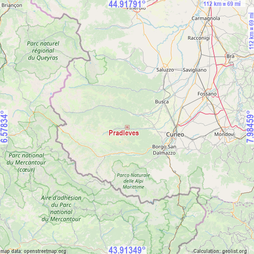
Pradleves GPS coordinates[2]
44° 25' 4.296" North, 7° 16' 53.256" East
| Map corner | latitude | longitude |
|---|---|---|
| Upper-left | 44.91791°, | 6.57834° |
| Center: | 44.41786°, | 7.28146° |
| Lower-right: | 43.91349°, | 7.98459° |
| Map W x H: | 111.7×111.7 km | = 69.4×69.4mi |
| max Lat: | 47.04031° ⇑50.1% North |
| Pradleves: | 44.41786° |
| min Lat: | ⇓49.9% South 35.50142° |
| min Long | Pradleves | max Long |
| 6.69888° | 7.28146° | 18.48682° |
| W 0.9%⇐ | ⇒99.1% E |
Elevation
Elevation of Pradleves is 810 m = 2657 ft, and this is 503.3 m = 1651 ft above average elevation for this country.
| Max E: |
2085 m = 6841 ft | 6.7% |
| Pradleves | 810 m 2657 ft | |
| Avg. | 306.7 m = 1006 ft | |
Min E: |
-4 m = -13 ft | 93.3% |
See also: Italy elevation on elevation.city.
Geographical zone
Pradleves is located in North temperate zone (between Tropic of Cancer and the Arctic Circle). Distance of this Northern Tropic circle is 2332.9 km =1449.6 mi to South.| Distance of | km | miles | from Pradleves |
|---|---|---|---|
| North Pole | 5068.3 | 3149.3 | to North |
| Arctic Circle | 2462.4 | 1530.1 | to North |
| Tropic Cancer | 2332.9 | 1449.6 | to South |
| Equator | 4938.8 | 3068.8 | to South |


Nearby cities:
15 places around Pradleves: (largest is in red/bold)
• Campomolino
5.6 km =3.5 mi,  259°
259°
• Caraglio
12 km =7.5 mi,  90°
90°
• Cartignano
6.7 km =4.2 mi,  2°
2°
• Chiesa di Macra
10.8 km =6.7 mi,  312°
312°
• Demonte
11.4 km =7.1 mi,  173°
173°
• Dronero
8.3 km =5.2 mi,  50°
50°
• Montemale di Cuneo
7.8 km =4.8 mi,  73°
73°
• Monterosso Grana
3.5 km =2.2 mi,  108°
108°
• Rittana
11.9 km =7.4 mi,  128°
128°
• Roccabruna
8 km =5 mi,  38°
38°
• San Damiano Macra
8.1 km =5 mi,  345°
345°
• Tettorosso
7.8 km =4.8 mi, 38°
• Valgrana
7.9 km =4.9 mi, 94°
• Valloriate
11.6 km =7.2 mi,  140°
140°
• Villar San Costanzo
10.9 km =6.8 mi, 47°
Sources, notices
• [Note1] Compared only with cities in Italy existing in our database
• [Src1] Map data: © OpenStreetMap contributors (CC-BY-SA)
• [Src2] Other city data from geonames.org with taken over terms of usage.
• [Src3] Geographical zone / Annual Mean Temperature by Robert A. Rohde @ Wikipedia
