Moscazzano geodata
Moscazzano (Lombardy) is a seat of a third-order administrative division; located in Italy in Europe/Rome (GMT+2) time zone. With population of 700 people, there are 8299 cities with bigger population in this country. Compared to other cities in Italy, 67.3% of cities are located further ↓South; 70.9% of cities are located further →East and 76.1% of cities have higher elevation than Moscazzano. Note1


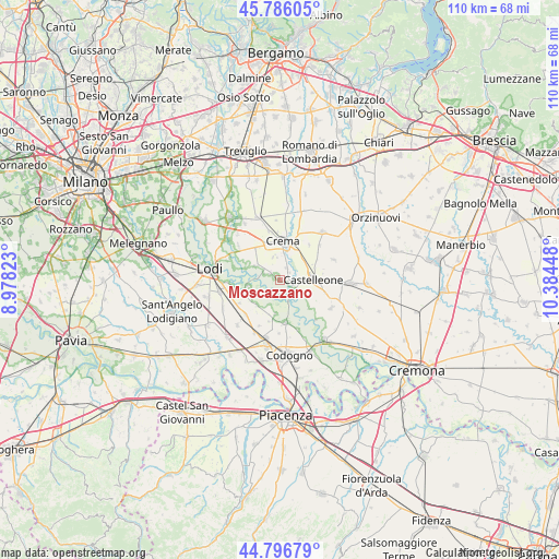
Moscazzano GPS coordinates[2]
45° 17' 36.888" North, 9° 40' 52.86" East
| Map corner | latitude | longitude |
|---|---|---|
| Upper-left | 45.78605°, | 8.97823° |
| Center: | 45.29358°, | 9.68135° |
| Lower-right: | 44.79679°, | 10.38448° |
| Map W x H: | 110×110 km | = 68.4×68.4mi |
| max Lat: | 47.04031° ⇑32.7% North |
| Moscazzano: | 45.29358° |
| min Lat: | ⇓67.3% South 35.50142° |
| min Long | Moscazzano | max Long |
| 6.69888° | 9.68135° | 18.48682° |
| W 29.1%⇐ | ⇒70.9% E |
Elevation
Elevation of Moscazzano is 69 m = 226 ft, and this is 237.7 m = 780 ft below average elevation for this country.
| Max E: |
2085 m = 6841 ft | 76.1% |
| Avg. | 306.7 m = 1006 ft | |
| Moscazzano | 69 m = 226 ft | |
Min E: |
-4 m = -13 ft | 23.9% |
See also: Italy elevation on elevation.city.
Geographical zone
Moscazzano is located in North temperate zone (between Tropic of Cancer and the Arctic Circle). Distance of this North polar circle is 2365 km =1469.5 mi to North.| Distance of | km | miles | from Moscazzano |
|---|---|---|---|
| North Pole | 4970.9 | 3088.8 | to North |
| Arctic Circle | 2365 | 1469.5 | to North |
| Tropic Cancer | 2430.3 | 1510.1 | to South |
| Equator | 5036.2 | 3129.3 | to South |


Nearby cities:
15 places around Moscazzano: (largest is in red/bold)
• Bertonico
6.8 km =4.2 mi,  188°
188°
• Bolzone
4.8 km =3 mi,  341°
341°
• Capergnanica
5.8 km =3.6 mi,  330°
330°
• Casaletto Ceredano
5.7 km =3.5 mi,  298°
298°
• Castelleone
6.2 km =3.9 mi,  87°
87°
• Cavenago d'Adda
6.6 km =4.1 mi,  259°
259°
• Credera
2.3 km =1.4 mi, 296°
• Gombito
5.1 km =3.2 mi,  133°
133°
• Madignano
6.6 km =4.1 mi,  29°
29°
• Montodine
2.4 km =1.5 mi,  115°
115°
• Ripalta Arpina
3.8 km =2.4 mi,  76°
76°
• Ripalta Guerina
2.2 km =1.4 mi,  51°
51°
• Ripalta Nuova
4.4 km =2.7 mi,  11°
11°
• Turano Lodigiano
6.9 km =4.3 mi,  222°
222°
• Zappello
4.5 km =2.8 mi,  351°
351°
Sources, notices
• [Note1] Compared only with cities in Italy existing in our database
• [Src1] Map data: © OpenStreetMap contributors (CC-BY-SA)
• [Src2] Other city data from geonames.org with taken over terms of usage.
• [Src3] Geographical zone / Annual Mean Temperature by Robert A. Rohde @ Wikipedia
