Lula geodata
Lula (Sardinia) is a seat of a third-order administrative division; located in Italy in Europe/Rome (GMT+2) time zone. With population of 1,479 people, there are 5168 cities with bigger population in this country. Compared to other cities in Italy, 84.3% of cities are located further ↑North; 73.4% of cities are located further →East and 79.5% of cities have lower elevation than Lula. Note1


Lula GPS coordinates[2]
40° 28' 13.728" North, 9° 29' 12.624" East
| Map corner | latitude | longitude |
|---|---|---|
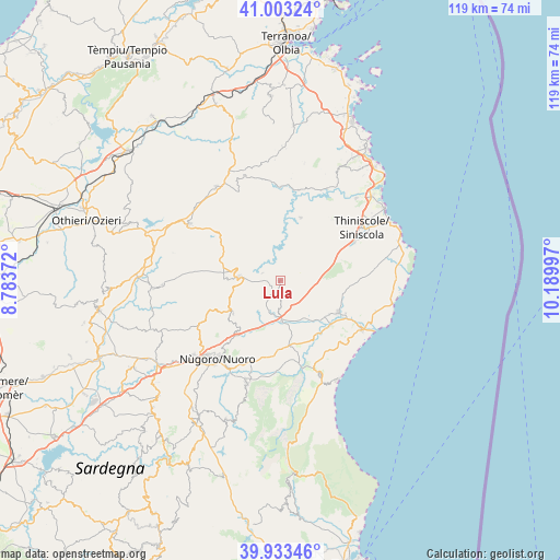
| Upper-left | 41.00324°, | 8.78372° |
| Center: | 40.47048°, | 9.48684° |
| Lower-right: | 39.93346°, | 10.18997° |
| Map W x H: | 118.9×118.9 km | = 73.9×73.9mi |
| max Lat: | 47.04031° ⇑84.3% North |
| Lula: | 40.47048° |
| min Lat: | ⇓15.7% South 35.50142° |
| min Long | Lula | max Long |
| 6.69888° | 9.48684° | 18.48682° |
| W 26.6%⇐ | ⇒73.4% E |
Elevation
Elevation of Lula is 517 m = 1696 ft, and this is 210.3 m = 690 ft above average elevation for this country.
| Max E: |
2085 m = 6841 ft | 20.5% |
| Lula | 517 m 1696 ft | |
| Avg. | 306.7 m = 1006 ft | |
Min E: |
-4 m = -13 ft | 79.5% |
See also: Italy elevation on elevation.city.
Geographical zone
Lula is located in North temperate zone (between Tropic of Cancer and the Arctic Circle). Distance of this Northern Tropic circle is 1894 km =1176.9 mi to South.| Distance of | km | miles | from Lula |
|---|---|---|---|
| North Pole | 5507.2 | 3422 | to North |
| Arctic Circle | 2901.3 | 1802.8 | to North |
| Tropic Cancer | 1894 | 1176.9 | to South |
| Equator | 4499.9 | 2796.1 | to South |


Nearby cities:
15 places around Lula: (largest is in red/bold)
• Bitti
8.8 km =5.5 mi,  276°
276°
• Buddusò
22.7 km =14.1 mi,  301°
301°
• Dorgali
21.6 km =13.4 mi,  156°
156°
• Galtellì
14.3 km =8.9 mi,  131°
131°
• Irgoli
14 km =8.7 mi,  118°
118°
• Loculi
12.6 km =7.8 mi, 124°
• Lodè
14.1 km =8.8 mi,  18°
18°
• Nuoro
21.6 km =13.4 mi,  219°
219°
• Oliena
22.8 km =14.2 mi,  198°
198°
• Onanì
4 km =2.5 mi,  294°
294°
• Onifai
15.5 km =9.6 mi, 117°
• Orosei
20.2 km =12.6 mi, 120°
• Orune
12.1 km =7.5 mi,  234°
234°
• Osidda
23.3 km =14.5 mi, 284°
• Siniscola
21.1 km =13.1 mi,  57°
57°
Sources, notices
• [Note1] Compared only with cities in Italy existing in our database
• [Src1] Map data: © OpenStreetMap contributors (CC-BY-SA)
• [Src2] Other city data from geonames.org with taken over terms of usage.
• [Src3] Geographical zone / Annual Mean Temperature by Robert A. Rohde @ Wikipedia
