Dorgali geodata
Dorgali (Sardinia) is a seat of a third-order administrative division; located in Italy in Europe/Rome (GMT+2) time zone. With population of 6,498 people, there are 1503 cities with bigger population in this country. Compared to other cities in Italy, 85.7% of cities are located further ↑North; 72.2% of cities are located further →East and 68.6% of cities have lower elevation than Dorgali. Note1


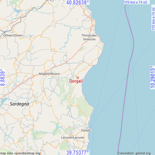
Dorgali GPS coordinates[2]
40° 17' 31.956" North, 9° 35' 13.272" East
| Map corner | latitude | longitude |
|---|---|---|
| Upper-left | 40.82639°, | 8.8839° |
| Center: | 40.29221°, | 9.58702° |
| Lower-right: | 39.75377°, | 10.29015° |
| Map W x H: | 119.3×119.3 km | = 74.1×74.1mi |
| max Lat: | 47.04031° ⇑85.7% North |
| Dorgali: | 40.29221° |
| min Lat: | ⇓14.3% South 35.50142° |
| min Long | Dorgali | max Long |
| 6.69888° | 9.58702° | 18.48682° |
| W 27.8%⇐ | ⇒72.2% E |
Elevation
Elevation of Dorgali is 380 m = 1247 ft, and this is 73.3 m = 240 ft above average elevation for this country.
| Max E: |
2085 m = 6841 ft | 31.4% |
| Dorgali | 380 m 1247 ft | |
| Avg. | 306.7 m = 1006 ft | |
Min E: |
-4 m = -13 ft | 68.6% |
See also: Italy elevation on elevation.city.
Geographical zone
Dorgali is located in North temperate zone (between Tropic of Cancer and the Arctic Circle). Distance of this Northern Tropic circle is 1874.2 km =1164.6 mi to South.| Distance of | km | miles | from Dorgali |
|---|---|---|---|
| North Pole | 5527 | 3434.3 | to North |
| Arctic Circle | 2921.1 | 1815.1 | to North |
| Tropic Cancer | 1874.2 | 1164.6 | to South |
| Equator | 4480.1 | 2783.8 | to South |


Nearby cities:
15 places around Dorgali: (largest is in red/bold)
• Bitti
27 km =16.8 mi,  320°
320°
• Cala Gonone
3.8 km =2.4 mi,  109°
109°
• Galtellì
10.5 km =6.5 mi,  11°
11°
• Irgoli
13.6 km =8.5 mi,  16°
16°
• Loculi
12.9 km =8 mi, 8°
• Lula
21.6 km =13.4 mi,  336°
336°
• Mamoiada
27.3 km =17 mi,  251°
251°
• Nuoro
22.4 km =13.9 mi,  277°
277°
• Oliena
15.8 km =9.8 mi,  263°
263°
• Onanì
24.7 km =15.3 mi,  330°
330°
• Onifai
13.8 km =8.6 mi, 22°
• Orgosolo
22 km =13.7 mi,  243°
243°
• Orosei
13.1 km =8.1 mi,  43°
43°
• Orune
22.5 km =14 mi,  304°
304°
• Urzulei
23.2 km =14.4 mi,  196°
196°
Sources, notices
• [Note1] Compared only with cities in Italy existing in our database
• [Src1] Map data: © OpenStreetMap contributors (CC-BY-SA)
• [Src2] Other city data from geonames.org with taken over terms of usage.
• [Src3] Geographical zone / Annual Mean Temperature by Robert A. Rohde @ Wikipedia
