Irgoli geodata
Irgoli (Sardinia) is a seat of a third-order administrative division; located in Italy in Europe/Rome (GMT+2) time zone. With population of 2,221 people, there are 3843 cities with bigger population in this country. Compared to other cities in Italy, 84.7% of cities are located further ↑North; 71.5% of cities are located further →East and 87% of cities have higher elevation than Irgoli. Note1


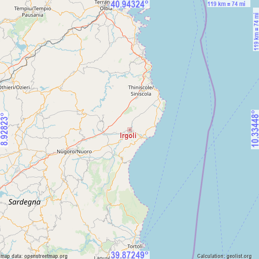
Irgoli GPS coordinates[2]
40° 24' 35.964" North, 9° 37' 52.86" East
| Map corner | latitude | longitude |
|---|---|---|
| Upper-left | 40.94324°, | 8.92823° |
| Center: | 40.40999°, | 9.63135° |
| Lower-right: | 39.87249°, | 10.33448° |
| Map W x H: | 119.1×119.1 km | = 74×74mi |
| max Lat: | 47.04031° ⇑84.7% North |
| Irgoli: | 40.40999° |
| min Lat: | ⇓15.3% South 35.50142° |
| min Long | Irgoli | max Long |
| 6.69888° | 9.63135° | 18.48682° |
| W 28.5%⇐ | ⇒71.5% E |
Elevation
Elevation of Irgoli is 25 m = 82 ft, and this is 281.7 m = 924 ft below average elevation for this country.
| Max E: |
2085 m = 6841 ft | 87% |
| Avg. | 306.7 m = 1006 ft | |
| Irgoli | 25 m = 82 ft | |
Min E: |
-4 m = -13 ft | 13% |
See also: Italy elevation on elevation.city.
Geographical zone
Irgoli is located in North temperate zone (between Tropic of Cancer and the Arctic Circle). Distance of this Northern Tropic circle is 1887.3 km =1172.7 mi to South.| Distance of | km | miles | from Irgoli |
|---|---|---|---|
| North Pole | 5513.9 | 3426.2 | to North |
| Arctic Circle | 2908 | 1806.9 | to North |
| Tropic Cancer | 1887.3 | 1172.7 | to South |
| Equator | 4493.2 | 2791.9 | to South |


Nearby cities:
15 places around Irgoli: (largest is in red/bold)
• Bitti
22.3 km =13.9 mi,  290°
290°
• Cala Gonone
14.4 km =8.9 mi,  180°
180°
• Dorgali
13.6 km =8.5 mi,  196°
196°
• Galtellì
3.3 km =2.1 mi,  209°
209°
• La Caletta
24.4 km =15.2 mi,  24°
24°
• Loculi
1.8 km =1.1 mi,  259°
259°
• Lodè
21.6 km =13.4 mi,  338°
338°
• Lula
14 km =8.7 mi,  298°
298°
• Oliena
24.5 km =15.2 mi,  232°
232°
• Onanì
18 km =11.2 mi, 297°
• Onifai
1.6 km =1 mi,  102°
102°
• Orosei
6.3 km =3.9 mi,  124°
124°
• Orune
22.2 km =13.8 mi,  269°
269°
• Siniscola
19 km =11.8 mi, 16°
• Torpè
24.6 km =15.3 mi,  9°
9°
Sources, notices
• [Note1] Compared only with cities in Italy existing in our database
• [Src1] Map data: © OpenStreetMap contributors (CC-BY-SA)
• [Src2] Other city data from geonames.org with taken over terms of usage.
• [Src3] Geographical zone / Annual Mean Temperature by Robert A. Rohde @ Wikipedia
