Lagundo geodata
Lagundo (Trentino-Alto Adige) is a seat of a third-order administrative division; located in Italy in Europe/Rome (GMT+2) time zone. With population of 2,977 people, there are 3064 cities with bigger population in this country. Compared to other cities in Italy, 99.3% of cities are located further ↓South; 55.5% of cities are located further →East and 63.8% of cities have lower elevation than Lagundo. Note1


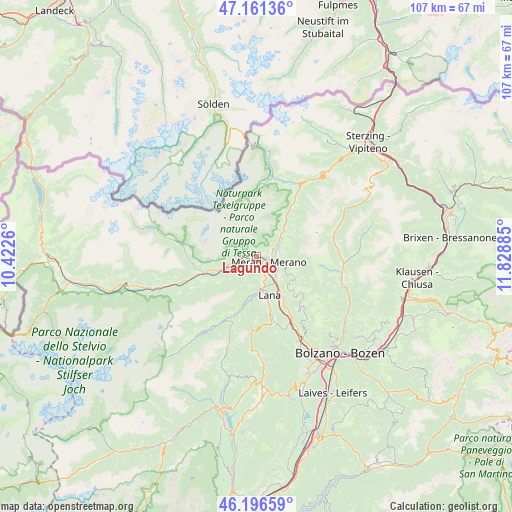
Lagundo GPS coordinates[2]
46° 40' 52.068" North, 11° 7' 32.592" East
| Map corner | latitude | longitude |
|---|---|---|
| Upper-left | 47.16136°, | 10.4226° |
| Center: | 46.68113°, | 11.12572° |
| Lower-right: | 46.19659°, | 11.82885° |
| Map W x H: | 107.3×107.3 km | = 66.7×66.7mi |
| max Lat: | 47.04031° ⇑0.7% North |
| Lagundo: | 46.68113° |
| min Lat: | ⇓99.3% South 35.50142° |
| min Long | Lagundo | max Long |
| 6.69888° | 11.12572° | 18.48682° |
| W 44.5%⇐ | ⇒55.5% E |
Elevation
Elevation of Lagundo is 332 m = 1089 ft, and this is 25.3 m = 83 ft above average elevation for this country.
| Max E: |
2085 m = 6841 ft | 36.2% |
| Lagundo | 332 m 1089 ft | |
| Avg. | 306.7 m = 1006 ft | |
Min E: |
-4 m = -13 ft | 63.8% |
See also: Italy elevation on elevation.city.
Geographical zone
Lagundo is located in North temperate zone (between Tropic of Cancer and the Arctic Circle). Distance of this North polar circle is 2210.7 km =1373.7 mi to North.| Distance of | km | miles | from Lagundo |
|---|---|---|---|
| North Pole | 4816.6 | 2992.9 | to North |
| Arctic Circle | 2210.7 | 1373.7 | to North |
| Tropic Cancer | 2584.5 | 1605.9 | to South |
| Equator | 5190.5 | 3225.2 | to South |


Nearby cities:
15 places around Lagundo: (largest is in red/bold)
• Caines
3.9 km =2.4 mi,  61°
61°
• Caines - Kuens
4 km =2.5 mi, 58°
• Cermes
5.6 km =3.5 mi,  163°
163°
• Lana
8 km =5 mi, 162°
• Marlengo
3.5 km =2.2 mi,  154°
154°
• Merano
3 km =1.9 mi,  119°
119°
• Parcines
4 km =2.5 mi,  274°
274°
• Plaus
7 km =4.3 mi,  246°
246°
• Rablà
4.8 km =3 mi,  255°
255°
• Rifiano
4.8 km =3 mi, 59°
• Scena
4.9 km =3 mi,  80°
80°
• Scena - Schenna
4.7 km =2.9 mi, 77°
• Sinigo
6.6 km =4.1 mi,  141°
141°
• Tirolo
2.4 km =1.5 mi, 63°
• Zona Laurin
1.5 km =0.9 mi,  102°
102°
Sources, notices
• [Note1] Compared only with cities in Italy existing in our database
• [Src1] Map data: © OpenStreetMap contributors (CC-BY-SA)
• [Src2] Other city data from geonames.org with taken over terms of usage.
• [Src3] Geographical zone / Annual Mean Temperature by Robert A. Rohde @ Wikipedia
