Forni Avoltri geodata
Forni Avoltri (Friuli Venezia Giulia) is a seat of a third-order administrative division; located in Italy in Europe/Rome (GMT+2) time zone. With population of 441 people, there are 10125 cities with bigger population in this country. Compared to other cities in Italy, 98.8% of cities are located further ↓South; 65.9% of cities are located further ←West and 95% of cities have lower elevation than Forni Avoltri. Note1
Administrative division(s):
- Level 1: Friuli Venezia Giulia
- Level 2: Provincia di Udine
- Level 3: Forni Avoltri


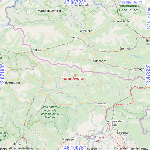
Forni Avoltri GPS coordinates[2]
46° 35' 10.14" North, 12° 46' 30.36" East
| Map corner | latitude | longitude |
|---|---|---|
| Upper-left | 47.06723°, | 12.07198° |
| Center: | 46.58615°, | 12.7751° |
| Lower-right: | 46.10076°, | 13.47823° |
| Map W x H: | 107.5×107.5 km | = 66.8×66.8mi |
| max Lat: | 47.04031° ⇑1.2% North |
| Forni Avoltri: | 46.58615° |
| min Lat: | ⇓98.8% South 35.50142° |
| min Long | Forni Avoltri | max Long |
| 6.69888° | 12.7751° | 18.48682° |
| W 65.9%⇐ | ⇒34.1% E |
Elevation
Elevation of Forni Avoltri is 874 m = 2867 ft, and this is 567.3 m = 1861 ft above average elevation for this country.
| Max E: |
2085 m = 6841 ft | 5% |
| Forni Avoltri | 874 m 2867 ft | |
| Avg. | 306.7 m = 1006 ft | |
Min E: |
-4 m = -13 ft | 95% |
See also: Italy elevation on elevation.city.
Geographical zone
Forni Avoltri is located in North temperate zone (between Tropic of Cancer and the Arctic Circle). Distance of this North polar circle is 2221.3 km =1380.3 mi to North.| Distance of | km | miles | from Forni Avoltri |
|---|---|---|---|
| North Pole | 4827.2 | 2999.5 | to North |
| Arctic Circle | 2221.3 | 1380.3 | to North |
| Tropic Cancer | 2574 | 1599.4 | to South |
| Equator | 5179.9 | 3218.6 | to South |


Nearby cities:
15 places around Forni Avoltri: (largest is in red/bold)
• Campolongo
15 km =9.3 mi,  260°
260°
• Cercivento
17.8 km =11.1 mi,  111°
111°
• Comeglians
10.4 km =6.5 mi,  138°
138°
• Granvilla
6.9 km =4.3 mi,  252°
252°
• Ovaro
13.4 km =8.3 mi,  148°
148°
• Pieria-Prato Carnico
7.6 km =4.7 mi,  163°
163°
• Prato Carnico
7.7 km =4.8 mi, 160°
• Ravascletto
13.1 km =8.1 mi,  121°
121°
• Raveo
18.5 km =11.5 mi, 156°
• Rigolato
6.5 km =4 mi, 123°
• San Pietro di Cadore
14.5 km =9 mi, 263°
• Santo Stefano di Cadore
17.5 km =10.9 mi, 259°
• Sappada
7.3 km =4.5 mi, 252°
• Sauris di Sotto
14.3 km =8.9 mi,  200°
200°
• Sutrio
18.6 km =11.6 mi, 116°
Sources, notices
• [Note1] Compared only with cities in Italy existing in our database
• [Src1] Map data: © OpenStreetMap contributors (CC-BY-SA)
• [Src2] Other city data from geonames.org with taken over terms of usage.
• [Src3] Geographical zone / Annual Mean Temperature by Robert A. Rohde @ Wikipedia
