Candelara geodata
Candelara (The Marches) is a populated place; located in Italy in Europe/Rome (GMT+2) time zone. With population of 714 people, there are 8195 cities with bigger population in this country. Compared to other cities in Italy, 56.3% of cities are located further ↑North; 67.1% of cities are located further ←West and 56% of cities have higher elevation than Candelara. Note1
Administrative division(s):
- Level 1: The Marches
- Level 2: Provincia di Pesaro e Urbino
- Level 3: Pesaro


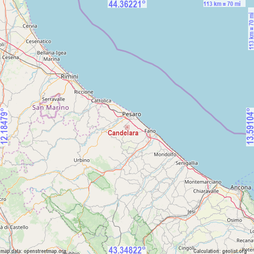
Candelara GPS coordinates[2]
43° 51' 26.532" North, 12° 53' 16.476" East
| Map corner | latitude | longitude |
|---|---|---|
| Upper-left | 44.36221°, | 12.18479° |
| Center: | 43.85737°, | 12.88791° |
| Lower-right: | 43.34822°, | 13.59104° |
| Map W x H: | 112.7×112.7 km | = 70×70mi |
| max Lat: | 47.04031° ⇑56.3% North |
| Candelara: | 43.85737° |
| min Lat: | ⇓43.7% South 35.50142° |
| min Long | Candelara | max Long |
| 6.69888° | 12.88791° | 18.48682° |
| W 67.1%⇐ | ⇒32.9% E |
Elevation
Elevation of Candelara is 195 m = 640 ft, and this is 111.7 m = 366 ft below average elevation for this country.
| Max E: |
2085 m = 6841 ft | 56% |
| Avg. | 306.7 m = 1006 ft | |
| Candelara | 195 m = 640 ft | |
Min E: |
-4 m = -13 ft | 44% |
See also: Italy elevation on elevation.city.
Geographical zone
Candelara is located in North temperate zone (between Tropic of Cancer and the Arctic Circle). Distance of this Northern Tropic circle is 2270.6 km =1410.9 mi to South.| Distance of | km | miles | from Candelara |
|---|---|---|---|
| North Pole | 5130.6 | 3188 | to North |
| Arctic Circle | 2524.7 | 1568.8 | to North |
| Tropic Cancer | 2270.6 | 1410.9 | to South |
| Equator | 4876.5 | 3030.1 | to South |


Nearby cities:
15 places around Candelara: (largest is in red/bold)
• Borgo Santa Maria
7.2 km =4.5 mi,  286°
286°
• Cartoceto
10.2 km =6.3 mi,  182°
182°
• Case Bruciate
6.3 km =3.9 mi,  312°
312°
• Centinarola
8.7 km =5.4 mi,  109°
109°
• Cuccurano
9.2 km =5.7 mi,  141°
141°
• Fenile
6.6 km =4.1 mi, 105°
• Ghetto di Trebbiantico
5.3 km =3.3 mi,  66°
66°
• Mombaroccio
7.4 km =4.6 mi,  200°
200°
• Monteciccardo
7.7 km =4.8 mi,  241°
241°
• Montelabbate
8.1 km =5 mi,  262°
262°
• Pesaro
6.2 km =3.9 mi,  21°
21°
• Rosciano
10.1 km =6.3 mi,  117°
117°
• Sant'Angelo in Lizzola
7.8 km =4.8 mi, 244°
• Villa Ceccolini
4.2 km =2.6 mi,  281°
281°
• Villagrande
6.1 km =3.8 mi, 200°
Sources, notices
• [Note1] Compared only with cities in Italy existing in our database
• [Src1] Map data: © OpenStreetMap contributors (CC-BY-SA)
• [Src2] Other city data from geonames.org with taken over terms of usage.
• [Src3] Geographical zone / Annual Mean Temperature by Robert A. Rohde @ Wikipedia
