Bonavigo geodata
Bonavigo (Veneto) is a seat of a third-order administrative division; located in Italy in Europe/Rome (GMT+2) time zone. With population of 720 people, there are 8158 cities with bigger population in this country. Compared to other cities in Italy, 66.4% of cities are located further ↓South; 53.4% of cities are located further →East and 90.1% of cities have higher elevation than Bonavigo. Note1


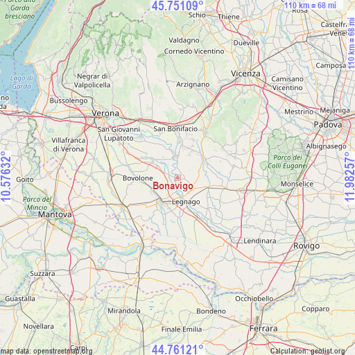
Bonavigo GPS coordinates[2]
45° 15' 29.916" North, 11° 16' 45.984" East
| Map corner | latitude | longitude |
|---|---|---|
| Upper-left | 45.75109°, | 10.57632° |
| Center: | 45.25831°, | 11.27944° |
| Lower-right: | 44.76121°, | 11.98257° |
| Map W x H: | 110.1×110.1 km | = 68.4×68.4mi |
| max Lat: | 47.04031° ⇑33.6% North |
| Bonavigo: | 45.25831° |
| min Lat: | ⇓66.4% South 35.50142° |
| min Long | Bonavigo | max Long |
| 6.69888° | 11.27944° | 18.48682° |
| W 46.6%⇐ | ⇒53.4% E |
Elevation
Elevation of Bonavigo is 18 m = 59 ft, and this is 288.7 m = 947 ft below average elevation for this country.
| Max E: |
2085 m = 6841 ft | 90.1% |
| Avg. | 306.7 m = 1006 ft | |
| Bonavigo | 18 m = 59 ft | |
Min E: |
-4 m = -13 ft | 9.9% |
See also: Italy elevation on elevation.city.
Geographical zone
Bonavigo is located in North temperate zone (between Tropic of Cancer and the Arctic Circle). Distance of this North polar circle is 2368.9 km =1472 mi to North.| Distance of | km | miles | from Bonavigo |
|---|---|---|---|
| North Pole | 4974.8 | 3091.2 | to North |
| Arctic Circle | 2368.9 | 1472 | to North |
| Tropic Cancer | 2426.3 | 1507.6 | to South |
| Equator | 5032.3 | 3126.9 | to South |


Nearby cities:
15 places around Bonavigo: (largest is in red/bold)
• Albaredo d'Adige
6.7 km =4.2 mi,  359°
359°
• Angiari
3.9 km =2.4 mi,  183°
183°
• Bonavicina
7.6 km =4.7 mi,  258°
258°
• Boschi Sant'Anna
7.5 km =4.7 mi,  126°
126°
• Caselle
6.8 km =4.2 mi,  74°
74°
• Coriano
2 km =1.2 mi,  19°
19°
• Gallese
5.5 km =3.4 mi, 132°
• Isola Rizza
7.3 km =4.5 mi,  300°
300°
• Legnago
7.4 km =4.6 mi,  166°
166°
• Michellorie
3.9 km =2.4 mi,  36°
36°
• Minerbe
6.4 km =4 mi,  117°
117°
• Roverchiara
2.9 km =1.8 mi,  291°
291°
• Roverchiaretta
1.5 km =0.9 mi,  269°
269°
• San Pietro di Morubio
4.5 km =2.8 mi,  246°
246°
• Tombazosana
6.5 km =4 mi,  344°
344°
Sources, notices
• [Note1] Compared only with cities in Italy existing in our database
• [Src1] Map data: © OpenStreetMap contributors (CC-BY-SA)
• [Src2] Other city data from geonames.org with taken over terms of usage.
• [Src3] Geographical zone / Annual Mean Temperature by Robert A. Rohde @ Wikipedia
