Avigliano geodata
Avigliano (Basilicate) is a seat of a third-order administrative division; located in Italy in Europe/Rome (GMT+2) time zone. With population of 5,774 people, there are 1703 cities with bigger population in this country. Compared to other cities in Italy, 82.1% of cities are located further ↑North; 91.4% of cities are located further ←West and 95.4% of cities have lower elevation than Avigliano. Note1


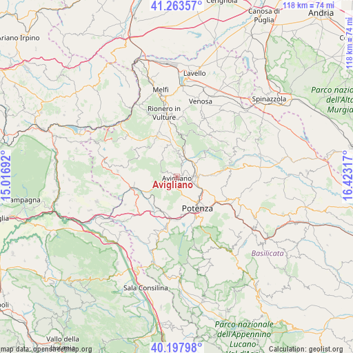
Avigliano GPS coordinates[2]
40° 43' 58.476" North, 15° 43' 12.144" East
| Map corner | latitude | longitude |
|---|---|---|
| Upper-left | 41.26357°, | 15.01692° |
| Center: | 40.73291°, | 15.72004° |
| Lower-right: | 40.19798°, | 16.42317° |
| Map W x H: | 118.5×118.5 km | = 73.6×73.6mi |
| max Lat: | 47.04031° ⇑82.1% North |
| Avigliano: | 40.73291° |
| min Lat: | ⇓17.9% South 35.50142° |
| min Long | Avigliano | max Long |
| 6.69888° | 15.72004° | 18.48682° |
| W 91.4%⇐ | ⇒8.6% E |
Elevation
Elevation of Avigliano is 894 m = 2933 ft, and this is 587.3 m = 1927 ft above average elevation for this country.
| Max E: |
2085 m = 6841 ft | 4.6% |
| Avigliano | 894 m 2933 ft | |
| Avg. | 306.7 m = 1006 ft | |
Min E: |
-4 m = -13 ft | 95.4% |
See also: Italy elevation on elevation.city.
Geographical zone
Avigliano is located in North temperate zone (between Tropic of Cancer and the Arctic Circle). Distance of this Northern Tropic circle is 1923.2 km =1195 mi to South.| Distance of | km | miles | from Avigliano |
|---|---|---|---|
| North Pole | 5478 | 3403.9 | to North |
| Arctic Circle | 2872.1 | 1784.6 | to North |
| Tropic Cancer | 1923.2 | 1195 | to South |
| Equator | 4529.1 | 2814.3 | to South |


Nearby cities:
15 places around Avigliano: (largest is in red/bold)
• Baragiano
12.1 km =7.5 mi,  241°
241°
• Bella
15.4 km =9.6 mi,  281°
281°
• Cappelluccia
6.9 km =4.3 mi,  75°
75°
• Filiano
8.7 km =5.4 mi,  354°
354°
• Lagopesole
7.9 km =4.9 mi,  8°
8°
• Picerno
12.3 km =7.6 mi,  212°
212°
• Pietragalla
13 km =8.1 mi, 83°
• Possidente
7.1 km =4.4 mi,  39°
39°
• Potenza
12.6 km =7.8 mi,  143°
143°
• Ruoti
3.6 km =2.2 mi, 239°
• San Cataldo
4.7 km =2.9 mi, 281°
• San Giorgio
7.8 km =4.8 mi,  56°
56°
• Scalera
14.1 km =8.8 mi,  359°
359°
• Scalo di Baragiano
12.9 km =8 mi,  250°
250°
• Serra
14.5 km =9 mi,  189°
189°
Sources, notices
• [Note1] Compared only with cities in Italy existing in our database
• [Src1] Map data: © OpenStreetMap contributors (CC-BY-SA)
• [Src2] Other city data from geonames.org with taken over terms of usage.
• [Src3] Geographical zone / Annual Mean Temperature by Robert A. Rohde @ Wikipedia
