Verduno geodata
Verduno (Piedmont) is a seat of a third-order administrative division; located in Italy in Europe/Rome (GMT+2) time zone. With population of 393 people, there are 10312 cities with bigger population in this country. Compared to other cities in Italy, 53.6% of cities are located further ↓South; 94.4% of cities are located further →East and 66.2% of cities have lower elevation than Verduno. Note1


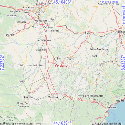
Verduno GPS coordinates[2]
44° 39' 58.104" North, 7° 55' 50.664" East
| Map corner | latitude | longitude |
|---|---|---|
| Upper-left | 45.16406°, | 7.22762° |
| Center: | 44.66614°, | 7.93074° |
| Lower-right: | 44.16391°, | 8.63387° |
| Map W x H: | 111.2×111.2 km | = 69.1×69.1mi |
| max Lat: | 47.04031° ⇑46.4% North |
| Verduno: | 44.66614° |
| min Lat: | ⇓53.6% South 35.50142° |
| min Long | Verduno | max Long |
| 6.69888° | 7.93074° | 18.48682° |
| W 5.6%⇐ | ⇒94.4% E |
Elevation
Elevation of Verduno is 355 m = 1165 ft, and this is 48.3 m = 158 ft above average elevation for this country.
| Max E: |
2085 m = 6841 ft | 33.8% |
| Verduno | 355 m 1165 ft | |
| Avg. | 306.7 m = 1006 ft | |
Min E: |
-4 m = -13 ft | 66.2% |
See also: Italy elevation on elevation.city.
Geographical zone
Verduno is located in North temperate zone (between Tropic of Cancer and the Arctic Circle). Distance of this Northern Tropic circle is 2360.5 km =1466.7 mi to South.| Distance of | km | miles | from Verduno |
|---|---|---|---|
| North Pole | 5040.7 | 3132.1 | to North |
| Arctic Circle | 2434.8 | 1512.9 | to North |
| Tropic Cancer | 2360.5 | 1466.7 | to South |
| Equator | 4966.4 | 3086 | to South |


Nearby cities:
15 places around Verduno: (largest is in red/bold)
• Barolo
6.2 km =3.9 mi,  171°
171°
• Borgo
5.4 km =3.4 mi,  27°
27°
• Borgo San Martino
5.1 km =3.2 mi,  318°
318°
• Castiglione Falletto
6 km =3.7 mi,  143°
143°
• Cherasco
6.3 km =3.9 mi,  246°
246°
• Cinzano
3.1 km =1.9 mi,  345°
345°
• Grinzane Cavour
5.3 km =3.3 mi,  105°
105°
• La Morra
3.1 km =1.9 mi,  179°
179°
• Monticello d'Alba
5.9 km =3.7 mi,  9°
9°
• Pocapaglia
6.6 km =4.1 mi,  325°
325°
• Pollenzo
3.6 km =2.2 mi,  309°
309°
• Roddi
3.8 km =2.4 mi,  66°
66°
• Santa Vittoria d'Alba
3.7 km =2.3 mi, 8°
• Villa
5.9 km =3.7 mi, 8°
• Villa-Borgo
3.6 km =2.2 mi, 5°
Sources, notices
• [Note1] Compared only with cities in Italy existing in our database
• [Src1] Map data: © OpenStreetMap contributors (CC-BY-SA)
• [Src2] Other city data from geonames.org with taken over terms of usage.
• [Src3] Geographical zone / Annual Mean Temperature by Robert A. Rohde @ Wikipedia
