Brenta geodata
Brenta (Lombardy) is a seat of a third-order administrative division; located in Italy in Europe/Rome (GMT+2) time zone. With population of 1,798 people, there are 4493 cities with bigger population in this country. Compared to other cities in Italy, 89% of cities are located further ↓South; 85.7% of cities are located further →East and 57.6% of cities have lower elevation than Brenta. Note1


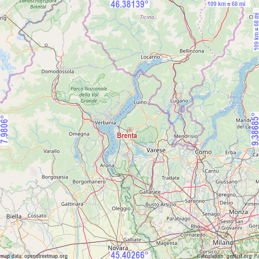
Brenta GPS coordinates[2]
45° 53' 39.048" North, 8° 41' 1.428" East
| Map corner | latitude | longitude |
|---|---|---|
| Upper-left | 46.38139°, | 7.9806° |
| Center: | 45.89418°, | 8.68373° |
| Lower-right: | 45.40266°, | 9.38685° |
| Map W x H: | 108.8×108.8 km | = 67.6×67.6mi |
| max Lat: | 47.04031° ⇑11% North |
| Brenta: | 45.89418° |
| min Lat: | ⇓89% South 35.50142° |
| min Long | Brenta | max Long |
| 6.69888° | 8.68373° | 18.48682° |
| W 14.3%⇐ | ⇒85.7% E |
Elevation
Elevation of Brenta is 283 m = 928 ft, and this is 23.7 m = 78 ft below average elevation for this country.
| Max E: |
2085 m = 6841 ft | 42.4% |
| Avg. | 306.7 m = 1006 ft | |
| Brenta | 283 m = 928 ft | |
Min E: |
-4 m = -13 ft | 57.6% |
See also: Italy elevation on elevation.city.
Geographical zone
Brenta is located in North temperate zone (between Tropic of Cancer and the Arctic Circle). Distance of this North polar circle is 2298.2 km =1428 mi to North.| Distance of | km | miles | from Brenta |
|---|---|---|---|
| North Pole | 4904.1 | 3047.3 | to North |
| Arctic Circle | 2298.2 | 1428 | to North |
| Tropic Cancer | 2497 | 1551.6 | to South |
| Equator | 5103 | 3170.9 | to South |


Nearby cities:
15 places around Brenta: (largest is in red/bold)
• Azzio
2.2 km =1.4 mi,  118°
118°
• Besozzo
5.2 km =3.2 mi,  195°
195°
• Caldana
2.6 km =1.6 mi,  164°
164°
• Caravate
2.9 km =1.8 mi,  232°
232°
• Casalzuigno
2.3 km =1.4 mi,  58°
58°
• Cittiglio
1.4 km =0.9 mi,  277°
277°
• Cocquio
3.5 km =2.2 mi,  174°
174°
• Cuveglio
4.1 km =2.5 mi,  70°
70°
• Cuvio
3.9 km =2.4 mi,  86°
86°
• Duno
4.7 km =2.9 mi, 62°
• Gemonio
1.8 km =1.1 mi, 202°
• Laveno
5.2 km =3.2 mi,  288°
288°
• Leggiuno
5.3 km =3.3 mi,  247°
247°
• Orino
2.8 km =1.7 mi, 119°
• Sangiano
4.4 km =2.7 mi,  241°
241°
Sources, notices
• [Note1] Compared only with cities in Italy existing in our database
• [Src1] Map data: © OpenStreetMap contributors (CC-BY-SA)
• [Src2] Other city data from geonames.org with taken over terms of usage.
• [Src3] Geographical zone / Annual Mean Temperature by Robert A. Rohde @ Wikipedia
