Germignaga geodata
Germignaga (Lombardy) is a seat of a third-order administrative division; located in Italy in Europe/Rome (GMT+2) time zone. With population of 3,697 people, there are 2559 cities with bigger population in this country. Compared to other cities in Italy, 91.8% of cities are located further ↓South; 85.2% of cities are located further →East and 53.8% of cities have higher elevation than Germignaga. Note1


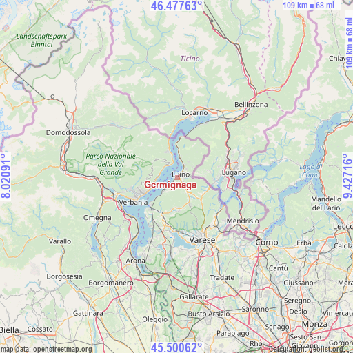
Germignaga GPS coordinates[2]
45° 59' 28.608" North, 8° 43' 26.508" East
| Map corner | latitude | longitude |
|---|---|---|
| Upper-left | 46.47763°, | 8.02091° |
| Center: | 45.99128°, | 8.72403° |
| Lower-right: | 45.50062°, | 9.42716° |
| Map W x H: | 108.6×108.6 km | = 67.5×67.5mi |
| max Lat: | 47.04031° ⇑8.2% North |
| Germignaga: | 45.99128° |
| min Lat: | ⇓91.8% South 35.50142° |
| min Long | Germignaga | max Long |
| 6.69888° | 8.72403° | 18.48682° |
| W 14.8%⇐ | ⇒85.2% E |
Elevation
Elevation of Germignaga is 211 m = 692 ft, and this is 95.7 m = 314 ft below average elevation for this country.
| Max E: |
2085 m = 6841 ft | 53.8% |
| Avg. | 306.7 m = 1006 ft | |
| Germignaga | 211 m = 692 ft | |
Min E: |
-4 m = -13 ft | 46.2% |
See also: Italy elevation on elevation.city.
Geographical zone
Germignaga is located in North temperate zone (between Tropic of Cancer and the Arctic Circle). Distance of this North polar circle is 2287.4 km =1421.3 mi to North.| Distance of | km | miles | from Germignaga |
|---|---|---|---|
| North Pole | 4893.3 | 3040.6 | to North |
| Arctic Circle | 2287.4 | 1421.3 | to North |
| Tropic Cancer | 2507.8 | 1558.3 | to South |
| Equator | 5113.8 | 3177.6 | to South |


Nearby cities:
15 places around Germignaga: (largest is in red/bold)
• Bedero
1.6 km =1 mi,  195°
195°
• Brezzo di Bedero
1.5 km =0.9 mi, 199°
• Brissago-Valtravaglia
5 km =3.1 mi,  160°
160°
• Cannero Riviera
4.9 km =3 mi,  314°
314°
• Castello
5.9 km =3.7 mi,  219°
219°
• Colmegna
4.7 km =2.9 mi,  31°
31°
• Dumenza
5.9 km =3.7 mi,  55°
55°
• Gonte
5.7 km =3.5 mi,  274°
274°
• Luino
2 km =1.2 mi,  54°
54°
• Maccagno
5.9 km =3.7 mi,  7°
7°
• Mesenzana
5.4 km =3.4 mi,  144°
144°
• Montegrino Valtravaglia
3.9 km =2.4 mi,  119°
119°
• Piano
3.8 km =2.4 mi, 143°
• Poppino
4.1 km =2.5 mi, 50°
• Porto Valtravaglia
4.7 km =2.9 mi, 224°
Sources, notices
• [Note1] Compared only with cities in Italy existing in our database
• [Src1] Map data: © OpenStreetMap contributors (CC-BY-SA)
• [Src2] Other city data from geonames.org with taken over terms of usage.
• [Src3] Geographical zone / Annual Mean Temperature by Robert A. Rohde @ Wikipedia
