Porte geodata
Porte (Piedmont) is a seat of a third-order administrative division; located in Italy in Europe/Rome (GMT+2) time zone. With population of 611 people, there are 8907 cities with bigger population in this country. Compared to other cities in Italy, 57.7% of cities are located further ↓South; 99.1% of cities are located further →East and 74.5% of cities have lower elevation than Porte. Note1


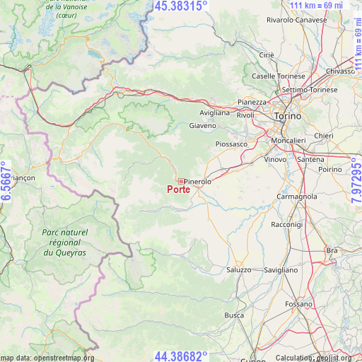
Porte GPS coordinates[2]
44° 53' 13.704" North, 7° 16' 11.352" East
| Map corner | latitude | longitude |
|---|---|---|
| Upper-left | 45.38315°, | 6.5667° |
| Center: | 44.88714°, | 7.26982° |
| Lower-right: | 44.38682°, | 7.97295° |
| Map W x H: | 110.8×110.8 km | = 68.8×68.8mi |
| max Lat: | 47.04031° ⇑42.3% North |
| Porte: | 44.88714° |
| min Lat: | ⇓57.7% South 35.50142° |
| min Long | Porte | max Long |
| 6.69888° | 7.26982° | 18.48682° |
| W 0.9%⇐ | ⇒99.1% E |
Elevation
Elevation of Porte is 445 m = 1460 ft, and this is 138.3 m = 454 ft above average elevation for this country.
| Max E: |
2085 m = 6841 ft | 25.5% |
| Porte | 445 m 1460 ft | |
| Avg. | 306.7 m = 1006 ft | |
Min E: |
-4 m = -13 ft | 74.5% |
See also: Italy elevation on elevation.city.
Geographical zone
Porte is located in North temperate zone (between Tropic of Cancer and the Arctic Circle). Distance of this Northern Tropic circle is 2385.1 km =1482 mi to South.| Distance of | km | miles | from Porte |
|---|---|---|---|
| North Pole | 5016.1 | 3116.9 | to North |
| Arctic Circle | 2410.2 | 1497.6 | to North |
| Tropic Cancer | 2385.1 | 1482 | to South |
| Equator | 4991 | 3101.3 | to South |


Nearby cities:
15 places around Porte: (largest is in red/bold)
• Angrogna
6 km =3.7 mi,  216°
216°
• Bricherasio
7.6 km =4.7 mi,  159°
159°
• Fleccia-Chianavasso
7.9 km =4.9 mi,  326°
326°
• Inverso Pinasca
7.7 km =4.8 mi, 328°
• Miradolo
3.1 km =1.9 mi,  118°
118°
• Osasco
7.1 km =4.4 mi,  126°
126°
• Pinasca-Dubbione
7 km =4.3 mi, 332°
• Pinerolo
4.9 km =3 mi,  92°
92°
• Pramollo
6.7 km =4.2 mi,  290°
290°
• Prarostino
2.3 km =1.4 mi,  184°
184°
• Roletto
6.4 km =4 mi,  49°
49°
• San Germano Chisone
3.1 km =1.9 mi,  302°
302°
• San Pietro Val Lemina
3.9 km =2.4 mi,  56°
56°
• San Secondo di Pinerolo
3.2 km =2 mi,  135°
135°
• Villar Perosa
3.9 km =2.4 mi, 333°
Sources, notices
• [Note1] Compared only with cities in Italy existing in our database
• [Src1] Map data: © OpenStreetMap contributors (CC-BY-SA)
• [Src2] Other city data from geonames.org with taken over terms of usage.
• [Src3] Geographical zone / Annual Mean Temperature by Robert A. Rohde @ Wikipedia
