Angrogna geodata
Angrogna (Piedmont) is a seat of a third-order administrative division; located in Italy in Europe/Rome (GMT+2) time zone. With population of 28 people, there are 11653 cities with bigger population in this country. Compared to other cities in Italy, 57% of cities are located further ↓South; 99.3% of cities are located further →East and 91.6% of cities have lower elevation than Angrogna. Note1


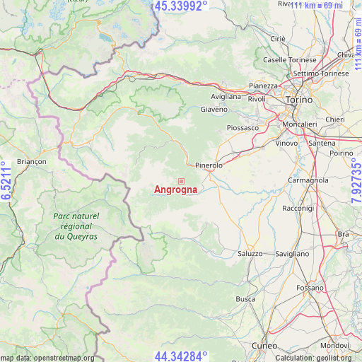
Angrogna GPS coordinates[2]
44° 50' 36.744" North, 7° 13' 27.192" East
| Map corner | latitude | longitude |
|---|---|---|
| Upper-left | 45.33992°, | 6.5211° |
| Center: | 44.84354°, | 7.22422° |
| Lower-right: | 44.34284°, | 7.92735° |
| Map W x H: | 110.9×110.9 km | = 68.9×68.9mi |
| max Lat: | 47.04031° ⇑43% North |
| Angrogna: | 44.84354° |
| min Lat: | ⇓57% South 35.50142° |
| min Long | Angrogna | max Long |
| 6.69888° | 7.22422° | 18.48682° |
| W 0.7%⇐ | ⇒99.3% E |
Elevation
Elevation of Angrogna is 758 m = 2487 ft, and this is 451.3 m = 1481 ft above average elevation for this country.
| Max E: |
2085 m = 6841 ft | 8.4% |
| Angrogna | 758 m 2487 ft | |
| Avg. | 306.7 m = 1006 ft | |
Min E: |
-4 m = -13 ft | 91.6% |
See also: Italy elevation on elevation.city.
Geographical zone
Angrogna is located in North temperate zone (between Tropic of Cancer and the Arctic Circle). Distance of this Northern Tropic circle is 2380.2 km =1479 mi to South.| Distance of | km | miles | from Angrogna |
|---|---|---|---|
| North Pole | 5020.9 | 3119.8 | to North |
| Arctic Circle | 2415 | 1500.6 | to North |
| Tropic Cancer | 2380.2 | 1479 | to South |
| Equator | 4986.1 | 3098.2 | to South |


Nearby cities:
15 places around Angrogna: (largest is in red/bold)
• Airali
3.7 km =2.3 mi,  144°
144°
• Bibiana
7.1 km =4.4 mi,  134°
134°
• Bricherasio
6.6 km =4.1 mi,  109°
109°
• Luserna
4.4 km =2.7 mi,  157°
157°
• Lusernetta
4.8 km =3 mi, 158°
• Miradolo
7.1 km =4.4 mi,  61°
61°
• Porte
6 km =3.7 mi,  36°
36°
• Pramollo
7.7 km =4.8 mi,  339°
339°
• Prarostino
4.3 km =2.7 mi,  53°
53°
• Rorà
6.1 km =3.8 mi,  199°
199°
• San Germano Chisone
6.6 km =4.1 mi,  8°
8°
• San Secondo di Pinerolo
6.4 km =4 mi,  66°
66°
• Torre Pellice
2.6 km =1.6 mi,  193°
193°
• Villar Pellice
6.4 km =4 mi,  232°
232°
• Villar Perosa
8.5 km =5.3 mi, 12°
Sources, notices
• [Note1] Compared only with cities in Italy existing in our database
• [Src1] Map data: © OpenStreetMap contributors (CC-BY-SA)
• [Src2] Other city data from geonames.org with taken over terms of usage.
• [Src3] Geographical zone / Annual Mean Temperature by Robert A. Rohde @ Wikipedia
