Carobbio geodata
Carobbio (Lombardy) is a seat of a third-order administrative division; located in Italy in Europe/Rome (GMT+2) time zone. With population of 4,263 people, there are 2254 cities with bigger population in this country. Compared to other cities in Italy, 79.6% of cities are located further ↓South; 69.5% of cities are located further →East and 50.2% of cities have higher elevation than Carobbio. Note1
Administrative division(s):
- Level 1: Lombardy
- Level 2: Provincia di Bergamo
- Level 3: Carobbio degli Angeli


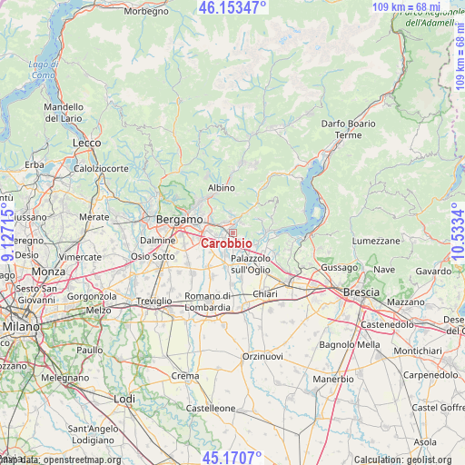
Carobbio GPS coordinates[2]
45° 39' 51.264" North, 9° 49' 48.972" East
| Map corner | latitude | longitude |
|---|---|---|
| Upper-left | 46.15347°, | 9.12715° |
| Center: | 45.66424°, | 9.83027° |
| Lower-right: | 45.1707°, | 10.5334° |
| Map W x H: | 109.3×109.3 km | = 67.9×67.9mi |
| max Lat: | 47.04031° ⇑20.4% North |
| Carobbio: | 45.66424° |
| min Lat: | ⇓79.6% South 35.50142° |
| min Long | Carobbio | max Long |
| 6.69888° | 9.83027° | 18.48682° |
| W 30.5%⇐ | ⇒69.5% E |
Elevation
Elevation of Carobbio is 234 m = 768 ft, and this is 72.7 m = 239 ft below average elevation for this country.
| Max E: |
2085 m = 6841 ft | 50.2% |
| Avg. | 306.7 m = 1006 ft | |
| Carobbio | 234 m = 768 ft | |
Min E: |
-4 m = -13 ft | 49.8% |
See also: Italy elevation on elevation.city.
Geographical zone
Carobbio is located in North temperate zone (between Tropic of Cancer and the Arctic Circle). Distance of this North polar circle is 2323.8 km =1443.9 mi to North.| Distance of | km | miles | from Carobbio |
|---|---|---|---|
| North Pole | 4929.7 | 3063.2 | to North |
| Arctic Circle | 2323.8 | 1443.9 | to North |
| Tropic Cancer | 2471.5 | 1535.7 | to South |
| Equator | 5077.4 | 3154.9 | to South |


Nearby cities:
15 places around Carobbio: (largest is in red/bold)
• Bagnatica
3.8 km =2.4 mi,  264°
264°
• Bolgare
3.8 km =2.4 mi,  199°
199°
• Carobbio degli Angeli
0.1 km =0.1 mi,  320°
320°
• Casco
5.2 km =3.2 mi,  355°
355°
• Cenate di Sotto
3.9 km =2.4 mi, 355°
• Chiuduno
2.1 km =1.3 mi,  135°
135°
• Costa di Mezzate
2.7 km =1.7 mi,  266°
266°
• Gandosso
4.6 km =2.9 mi,  97°
97°
• Gorlago
1.2 km =0.7 mi,  332°
332°
• Grumello del Monte
4.7 km =2.9 mi,  132°
132°
• Montello
2.1 km =1.3 mi,  294°
294°
• San Paolo d'Argon
3.5 km =2.2 mi, 320°
• Telgate
4.3 km =2.7 mi,  160°
160°
• Trescore Balneario
3.4 km =2.1 mi,  15°
15°
• Zandobbio
3.2 km =2 mi,  41°
41°
Sources, notices
• [Note1] Compared only with cities in Italy existing in our database
• [Src1] Map data: © OpenStreetMap contributors (CC-BY-SA)
• [Src2] Other city data from geonames.org with taken over terms of usage.
• [Src3] Geographical zone / Annual Mean Temperature by Robert A. Rohde @ Wikipedia
