Montericco geodata
Montericco (Veneto) is a populated place; located in Italy in Europe/Rome (GMT+2) time zone. With population of 734 people, there are 8058 cities with bigger population in this country. Compared to other cities in Italy, 73.3% of cities are located further ↓South; 57.9% of cities are located further →East and 54.1% of cities have lower elevation than Montericco. Note1


Montericco GPS coordinates[2]
45° 29' 31.668" North, 10° 57' 23.688" East
| Map corner | latitude | longitude |
|---|---|---|
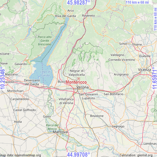
| Upper-left | 45.98287°, | 10.25346° |
| Center: | 45.49213°, | 10.95658° |
| Lower-right: | 44.99708°, | 11.65971° |
| Map W x H: | 109.6×109.6 km | = 68.1×68.1mi |
| max Lat: | 47.04031° ⇑26.7% North |
| Montericco: | 45.49213° |
| min Lat: | ⇓73.3% South 35.50142° |
| min Long | Montericco | max Long |
| 6.69888° | 10.95658° | 18.48682° |
| W 42.1%⇐ | ⇒57.9% E |
Elevation
Elevation of Montericco is 260 m = 853 ft, and this is 46.7 m = 153 ft below average elevation for this country.
| Max E: |
2085 m = 6841 ft | 45.9% |
| Avg. | 306.7 m = 1006 ft | |
| Montericco | 260 m = 853 ft | |
Min E: |
-4 m = -13 ft | 54.1% |
See also: Italy elevation on elevation.city.
Geographical zone
Montericco is located in North temperate zone (between Tropic of Cancer and the Arctic Circle). Distance of this North polar circle is 2342.9 km =1455.8 mi to North.| Distance of | km | miles | from Montericco |
|---|---|---|---|
| North Pole | 4948.8 | 3075 | to North |
| Arctic Circle | 2342.9 | 1455.8 | to North |
| Tropic Cancer | 2452.3 | 1523.8 | to South |
| Equator | 5058.3 | 3143.1 | to South |


Nearby cities:
15 places around Montericco: (largest is in red/bold)
• Arbizzano-Santa Maria
1.5 km =0.9 mi,  282°
282°
• Bassone
6.7 km =4.2 mi,  226°
226°
• Corrubbio
4.2 km =2.6 mi,  261°
261°
• Grezzana
5.8 km =3.6 mi,  54°
54°
• Negrar
4.3 km =2.7 mi,  341°
341°
• Parona
1.8 km =1.1 mi,  213°
213°
• Pedemonte
3.2 km =2 mi,  292°
292°
• Pescantina
6.9 km =4.3 mi, 263°
• Poiano
5.4 km =3.4 mi,  116°
116°
• San Floriano
4.7 km =2.9 mi,  307°
307°
• San Pietro in Cariano
6.2 km =3.9 mi,  297°
297°
• San Vito al Mantico
5.5 km =3.4 mi,  245°
245°
• Santa Maria In Stelle
6.1 km =3.8 mi,  88°
88°
• Settimo
4 km =2.5 mi, 248°
• Valgatara
5.9 km =3.7 mi,  323°
323°
Sources, notices
• [Note1] Compared only with cities in Italy existing in our database
• [Src1] Map data: © OpenStreetMap contributors (CC-BY-SA)
• [Src2] Other city data from geonames.org with taken over terms of usage.
• [Src3] Geographical zone / Annual Mean Temperature by Robert A. Rohde @ Wikipedia
